
Mountain Ranges: 8 Most Exciting Facts
Mountain is known to be higher than the surrounding terrain; a narrow summit and sloping slopes characterize it. Mountains are often found in the form of mountain chains that extend for tens or hundreds of kilometres. As for the mountain belts, they consist of a group of mountain chains, ranging in length from hundreds to thousands of kilometres, examples of which are the South American mountain chain known as the American Cordillera, the Himalayas, the Alps, and the Appalachians.
Understanding how mountain chains are formed is related to knowing the layers that make up the earth and the tectonic plates, which in turn make up the lithosphere, and the nature of their movement. Mountain chains result from environmental phenomena and processes such as volcanoes, disturbances, erosion, or the rise of the earth’s crust.
The name of the tectonic plate and their theory indicate that the earth’s crust is divided into a number of large solid plates, which move at a rate of a few centimetres annually, and the emergence of the earth’s crust occurs by the collision of these plates below the ground, producing various geological processes that lead to the emergence of these crustal outcrops, and geological processes occur.
The other is caused by horizontal pressure, which is a deformation in the crustal layers that produce folds. The lower mountains also emerge through non-tectonic processes and are caused by sculpting resulting from various erosion processes when there is wind, rain, or ice, and the mountains are affected by the process of erosion due to the effect of wind, rain, and snow that changes the shapes of the mountains.
Volcanoes also cause the formation of mountains, as many volcanic mountains have craters that still release steam and lava. As for the other mountains, they are inert and do not show any volcanic activity.
How Mountain Ranges are Formed
The orogeny movement or the process of mountain formation occurs when the tectonic plates collide with each other, which leads to the flexion of one of those plates, or the two plates flex together upwards. This causes the rise and distortion of the earth’s crust (deformation), and as a result, mountain ranges are formed.
Mountain chains can also be formed as a result of a tectonic plate sliding under another plate. Here are some examples of mountain chains and how they are formed:
- The Himalayas: They are the result of the collision of the continental plate of India with the plate of Asia.
- The Appalachian Mountains: They were formed as a result of the collision of the North American plate with the African plate 325 million years ago.
- The Alps: formed in the contemporary era due to the collision of the African plate, the Eurasian plate, and the Arab plate.
Types of Mountains
There are many types of mountains on the surface of the earth, and here we review the main types of them, which are:
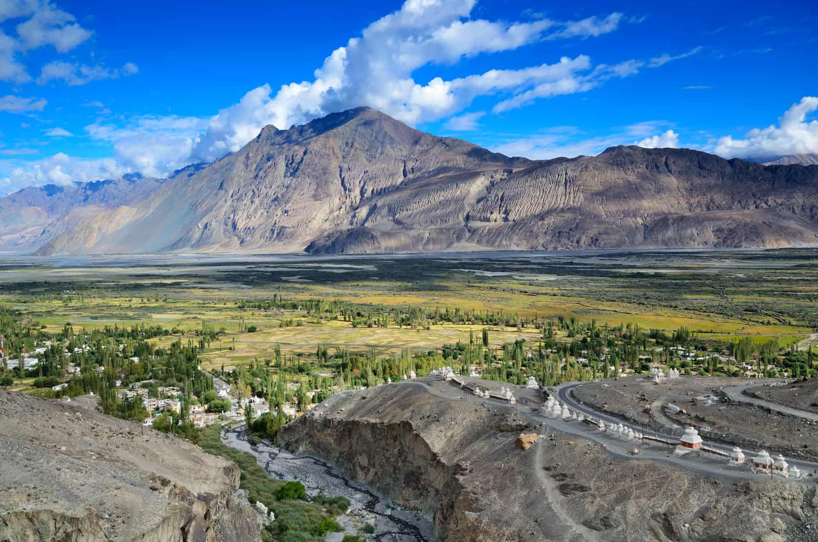
- Fold Mountains: They are the most common types of mountains, and mountain chains are often formed from fold mountains, examples of which are the Himalayas in Asia and the Rocky Mountains in North America.
- Fault Mountains: Also called Block Mountains, these mountains form when cracks or fractures occur in the earth’s crust. Sierra Nevada Mountains.
- Dome Mountains: They result from the eruption of magma from the earth’s interior towards the surface, but it cools and solidifies in the form of a dome before it can turn into lava.
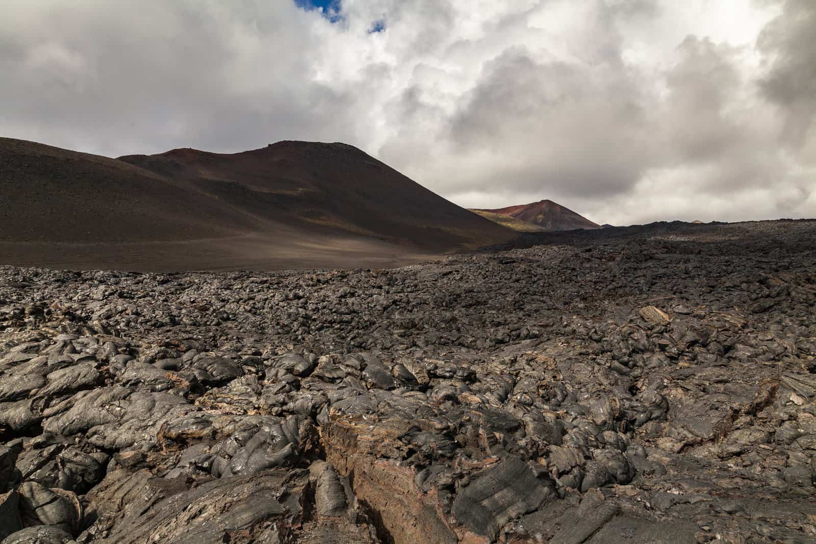
- Volcanic Mountains: They are formed as a result of volcanic activity; that is, they are formed as a result of magma flowing from the ground in the form of lava and accumulating around the crater of the volcano. Examples of volcanic mountains are:
- Mount Rainier in the United States
- Mount Mauna Loa
- Mount Mauna Kea in Hawaii
- Mount Fuji in Japan
Layers of the Earth
Geologists believe that the Earth consists of the following layers:
- The crust: It is the outer part of the Earth, and the thickness of the oceanic crust that makes up the crust of the ocean floor is 8 km, while the thickness of the continental crust is 32 km.
The temperature of the outer layer of the crust is similar to the temperature of the atmospheric air. In contract, the temperature of the deep layers of the crust is 870 degrees Celsius. The continental crust is mostly composed of granite rocks, and the oceanic crust is composed of basalt. - The mantle: It is the middle part of the Earth’s layers, and it is also the thickest, with a thickness of about 2897 km (when looking at the outer core and the inner core as two separate layers). The mantle is made of hot, dense rock, with temperatures ranging from approximately 871 degrees Celsius at the top to about 2,204 degrees Celsius near the bottom.
The outer layer of the curtain and the Earth’s crust forms the lithosphere, and the lower layer of the curtain forms The Asthenosphere, a layer whose texture is similar to that of asphalt, which is responsible for the movement of the class. - The core: The core is divided into two parts:
- The outer core: It is a layer consisting of molten iron and nickel due to the high temperature of the core, which ranges between (approximately 2204–4,982 degrees Celsius). The outer core layer is approximately 2897 km away from the crust and it is 2253 km thick.
- The inner core: The inner core is characterized by its hardness, although its temperature reaches 4982 degrees Celsius, due to the severe pressure that the minerals that make up the inner core are exposed to, which prevents it from moving and keeps it in a solid state. The inner core is approximately 6437.376 km away from the crust and it is about 1287 km thick.
Types of Mountain Ranges
- Tectonic mountains
The most extended mountain ranges in the world form when two plates of the Earth’s crust collide with each other, in a process called plate tectonics, and flex upwards, such as Mauna Kea, an inactive volcanic mountain on the island of Hawaii, in the Pacific Ocean.
Mauna Kea’s height from the base is about 10,203 meters. It rises from sea level about 4,205 meters only. The Himalayas were formed in Asia due to such a significant collision, which began about 55 million years ago. Mount Everest, which is about 8850 meters high, is the highest point on Earth.
2. Volcanic Mountains
Volcanic mountains are formed when molten rock rises from the depths of the earth through the earth’s crust and accumulates above it, as the Hawaiian Islands were formed due to volcanoes located under the sea. The islands that appear above the water are considered the tops of the remaining volcanoes.
Examples of well-known volcanic mountains are Mount St. Helens in Washington state and Mount Fuji in Japan, and in some cases, eruptions can cause mountains to rip apart rather than shape them, such as the 1980 eruption that blew up the summit of Mount St. Helens.
3. Torsional Mountains
This type of mountain is considered one of the most common types in the world, which occurs as a result of the collision of two tectonic plates with each other at the boundaries of the converging plates, which leads to their twisting.
The Himalayas are formed after the collision of the Eurasian and Indian plates. These chains rise constantly because the plates are always moving towards each other, a process that sometimes leads to earthquakes in the region.
4. Refraction Mountains
Refraction mountains arise as a result of a crack in the Earth’s crust, which allows rocks to move towards each other, a process known as fracturing, where rocks rise higher from other stones on one side of the plates, which leads to the formation of fracturing mountains.
While another group of rocks descends on one side of the plates to form low areas, and these common areas can sometimes include rift valleys, and the fracturing mountains are divided into parts that move either upwards, downwards, or end up accumulating on top of each other. These mountains are characterized by a steep front side, which differs from the sloping back side.
One of the most famous examples of these mountains is the Sierra Nevada mountain range, which extends 80 km wide and 650 km long. The Great African Fissure consists of many active volcanoes extending from Mozambique to Eritrea.
Tectonic plates
The Earth’s lithosphere consists of several tectonic plates, including seven large-sized continental and oceanic plates, six or seven medium-sized plates, and many small-sized plates, and these plates move at a rate of 5–10 cm per year.
They may diverge or converge, or they slide under each other, and their movement results in earthquakes and volcanoes, and the convergence of plates and their collision with each other leads to the formation of mountains, and the divergence of the plates is responsible for the formation of the oceans.
Famous Mountain Ranges in the World
- The Andes Mountain Range
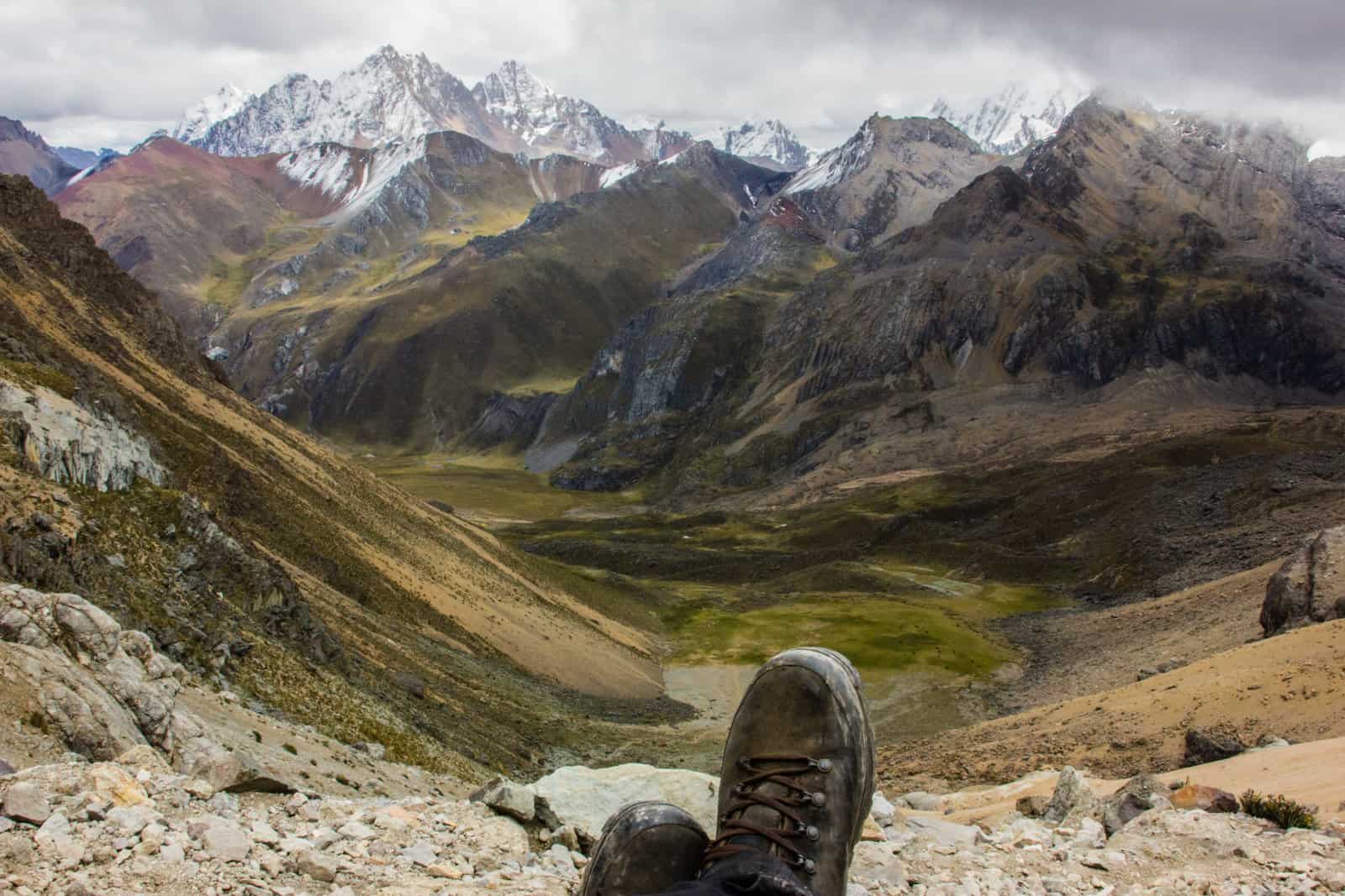
The Andes Mountains are classifies as one of the longest mountain ranges on earth. They are located in South America with an extension of up to seven thousand kilometres and extend in the land of Argentina, Venezuela, Ecuador, Colombia, Bolivia, Peru, and Chile.
This mountain range contains a group of live volcanoes and is characterized by its diverse climate, in addition to the presence of a group of traces of ancient civilizations in it, and its containment of tropical glaciers. It reaches a height of 6,962 meters.
2. The Rocky Mountain Range
The Rocky Mountains are located in the North American continent, specifically in the northwest part of it, and they are a series of at least one hundred separate ranges, divided into four main groups that differ among themselves in terms of the geological characteristics of the Earth, namely:
- The Canadian Rockies: The Northern Rockies are located in Montana and the northeastern parts of Idaho.
- The Central Rockies: They are located in Wyoming, Utah, and southeast Idaho.
- The Southern Rocky Mountains: Especially in the states of New Mexico and Colorado.
- The Colorado Plateau: It is located in the states of Utah, Colorado, Arizona, and New Mexico as well.
3. The Atlas Mountain Range
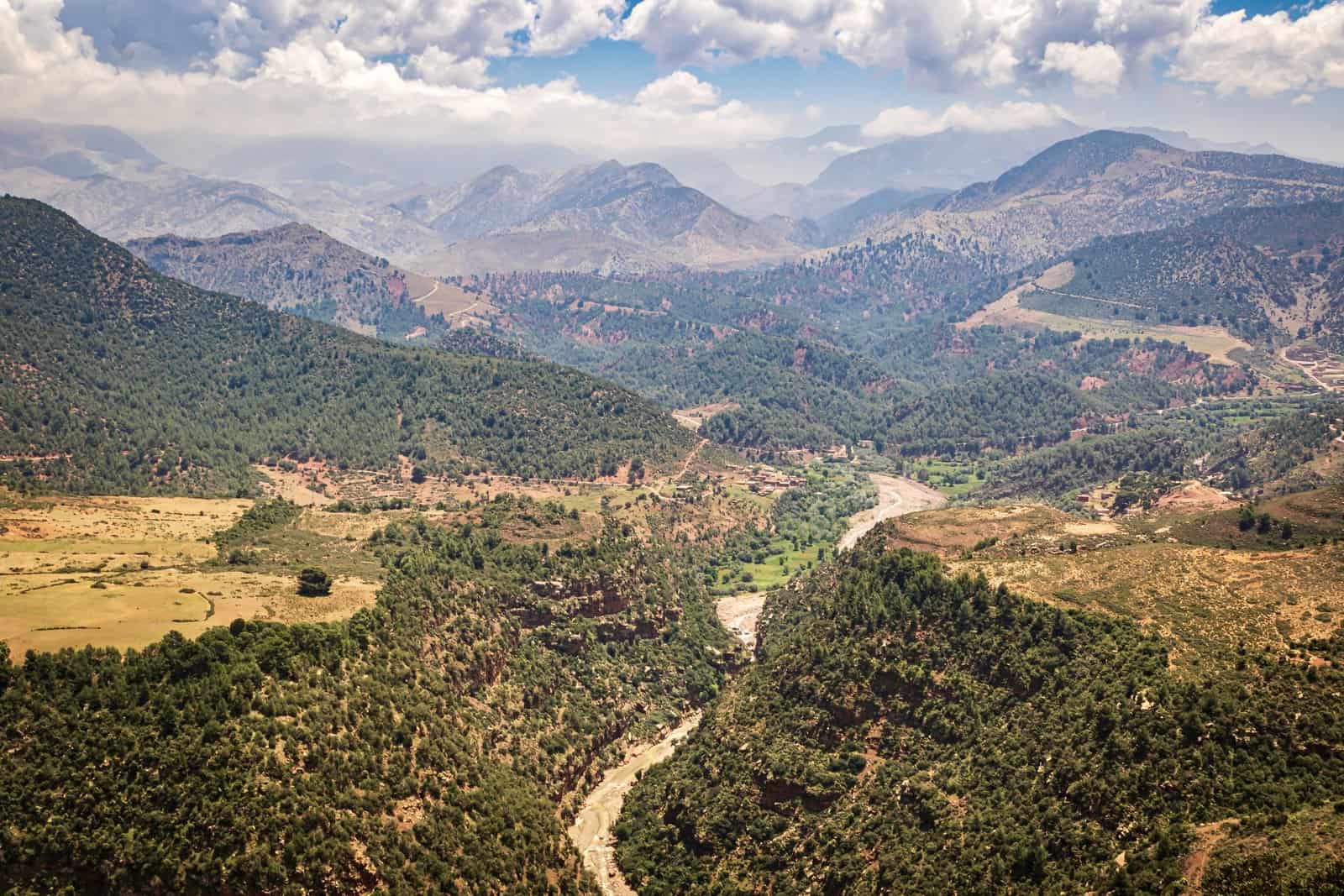
The Atlas Mountains are located in the continent of Africa, specifically in the northwest of it, and extend over an area of more than two thousand kilometres within three African countries; Morocco, Tunisia, and Algeria.
The Atlas Mountains’ height reaches 4,165 meters, and what distinguishes the Atlas Mountains is that it contains a large group of minerals and sediments, such as phosphates, which are considered an essential economic wealth, in addition to containing lead, zinc, manganese, and silver.
4. The Himalayas
The Himalayas or Himalaya are located in the continent of Asia and include a large group of rivers, the most important of which is the Ganges River. In addition to a large group of mountains numbering more than 50, including the summit of Everest, which is the highest point on this earth.
The Himalayas extend to the height of their peaks within five countries, namely: China, India, Nepal, as well as Pakistan and Bhutan. It is worth noting that the age of the Himalayas is up to 70 million years. Its name is derived from Sanskrit origin, meaning the house made of snow; the first syllable of the name (Hima) means: snow, and the second syllable (Laya) means the house.
Highest Mountain Ranges in the World
- Mount Everest
Among the most prominent pieces of information about Mount Everest are the following:
- Mount Everest is located on the border between Tibet and Nepal.
- The reason behind this name is the British surveyor George Everest, who worked as a general surveyor in India between 1830–1843.
- Mount Everest was known in the Tibetan language as Qomolangma, which means the holly mother of the world, and in Nepali, it was known as Sagarmatha.
- George Mallory was one of the first to climb Mount Everest on an expedition in 1921.
- Mount Everest was recorded as the highest peak in the world in 1856 by the Survey Department of the Indian Government.
2. K2 Mountain
The most prominent pieces of information about K2 Mountain are as follows:
- K2 is the highest point in the Karakoram mountain range and the highest point in both Pakistan and Xinjiang.
- K2 is located on the borders of China and Pakistan, specifically between the Gilgit-Baltistan region of Pakistan and a town in the Chinese province of Xinjiang.
- K2 has the second highest death rate per mountaineering attempt; 377 people attempted to climb the mountain, of whom 300 succeeded, and 77 died.
- K2 is considered one of the most challenging mountains in the world to climb, it is even more difficult than Mount Everest.
- K2 gets its name from the notation used in the well-known measurement project by the great trigonometric survey.
3. Mount Kanchenjunga
Among the most prominent pieces of information about Mount Kanchenjunga are the following:
- Mount Kanchenjunga is located between Nepal and the Indian state of Sikkim.
- Mount Kanchenjunga has 5 peaks; 3 of them are on the border areas, and 2 peaks are located in Nepal.
- Mount Kanchenjunga is the 3rd highest mountain in the world.
4. Mount Lhotse
Among the most prominent pieces of information about Mount Lhotse are the following:
- Mount Lhotse is connected to Mount Everest through its southern summit.
- Mount Lhotse is characterized by its hugeness and steepness, as its southern façade is 3.2 km high and 2.25 km wide. This makes its southern facade the steepest in the world.
- It is one of the most challenging and rarest mountains to climb. It is noteworthy that the first attempts to climb on it were on 18 October 1956 by the Swiss Fritz Luchsinger and Ernst Reis.
- Mount Lhotse is located on the border between Tibet and the Khumbu region of Nepal.
- Mount Lhotse includes a number of mountain peaks, which are as follows:
- The main summit is at an altitude of 8.516 km.
- The middle peak is on the eastern side and reaches an altitude of 8.414 km.
- The summit of Lhotse Char reaches a length of 8,383 km.
5. Mount Makalu
Among the most prominent pieces of information about Mount Makalu are the following:
- Mount Makalu is located on the border between Nepal and China.
- Mount Makalu is 19 km southeast of Mount Everest.
- The southeast mountain ledge and the northwest ledge are the two main ledges for climbing the mountain.
- Mount Makalu was first climbed by an American team led by William Serry in 1954.
- In 1955, 10 people from a French expedition team led by Jean Franco managed to climb Mount Makalu and reach its summit during the days of their expedition. Usually, only one or two climbers from the team make it to the summit.
6. Mount Cho Oyu
The most prominent information about Cho Oyo Mountain is the following:
- The mountain is characterized by gentle slopes.
- Climbing Cho Oyu is easier compared to other mountains over 8 km in height.
- In 1954, the Austrians Sepp Jöchler and Herbert Tichy and the Nepalese Pasang Dawa Lama were able to climb the mountain for the first time.
- Mount Cho Oyu was considered the highest peak in the west of the Khumbu subsection of the Mahalangur Himalayan division.
- The name of the mountain means the goddess of turquoise.
7. Mount Dhaulagiri
Among the most prominent pieces of information about Mount Dhaulagiri are the following:
- It was considered the highest mountain in the world, within the statistics of a survey conducted in 1808.
- The rank of Mount Dhaulagiri was changed among the highest mountains in the world in 1838 when Mount Kanchenjunga took the lead in the height of the mountains at that time.
- The first climb of Mount Dhaulagiri was in 1960 by teams of Swiss, Austrian and Nepalese nationalities.
8. Mount Manaslu
The most prominent information about Mount Manaslu is the following:
- Its name comes from the Sanskrit language, meaning mind or soul.
- The Japanese Toshio Imanishi and Gilzin Norbu climbed Mount Manaslu for the first time in 1956.
- The people of the region opposed climbing the mountain in 1954. This is due to their belief that previous climbing attempts were the reason for the anger of the gods and the occurrence of avalanches from the mountain that destroyed parts of the region and caused several deaths.
- A Japanese team climbed the mountain for the second time in 1971.
9. Mount Nanka Parbat
The most prominent information about Mount Nanka Parpat is as follows:
- It is located in an area belonging to the Gilgit-Baltistan region of Pakistan.
- Its name comes from the Sanskrit language, which means the naked mountain, while its meaning in the Tibetan language is the huge mountain.
- It is surrounded by low valleys from all directions.
- It was known as the Mount of Death due to the difficulty of climbing it.
- The Australian Hermann Paul was the first to climb it in 1953.
10. Mount Annapurna
The most prominent information about Mount Annapurna is as follows:
- Mount Annapurna is considered a multi-peak, with six main peaks as follows:
- Annapurna’s first summit is 8,091 km high.
- Annapurna’s second summit is 7.937 km high.
- Annapurna’s third summit is 7,555 km high.
- Annapurna’s fourth summit is 7.525 km high.
- Manang Peak is 7,455 km high.
- The South Annapurna summit is 7,219 km high.
- The summits of Mount Annapurna are dangerous to climb, with a death rate of about 40% for climbers.
- Maurice Herzog and Louis Lachenal were the first to climb Mount Annapurna in 1950.
The Difference between Mountain, Hill and Plateau
Mountains, hills and plateaus are natural land formations that emerge from the surface of the earth and become part of the landscape. So far, there is no standard definition or universally accepted scale that precisely defines the height of mountains and plateaus, which makes differentiating between them somewhat difficult.
- Mountain
Landforms rise significantly above the surrounding surface, and their summit is relatively narrow. Mountains can be referred to as more significant and higher than hills, but this term does not have a uniform geological meaning. Mountains are rarely seen individually, as they are often found in the form of long mountain ranges or mountainous areas, and the meeting of these mountain chains leads to the formation of the mountain belt.
The width of this mountain belt may reach from tens to hundreds of kilometres, and the length of up to hundreds of thousands of kilometres. The packages may be coastal. That is, along the coastal strip, as in the western Andes in northern Chile, and plateaus that are lower than the mountains can penetrate it.
The individual mountains are linked to each other by the hills that lie between them, and valleys can separate them. There are some mountains that contain volcanic activity within them, such as chains of active volcanoes, and they have two types. The first is single high mountains that overlook a wide area of low terrain, and The second is the type in which the volcano is found only at both ends of the mountain range.
- Hill
It is a semi-pyramidal or dome-shaped land that appears higher than the surface of the neighbouring land. The role of the hill dates back to prehistoric times when the original human settlements were built on the hills to increase protection against predators and to keep them elevated from flooding.
Most likely, a hill is less steep than a mountain. Geographers distinguish a hill from a mountain by height. It has a height limit of 600 meters. The tallest hill in the world is Cavanal Hill in Poteau, Oklahoma, rising 600. Other hills are made for tourist spots like the Chocolate Hills in Bohol, the Philippines, which look like giant stacks of chocolate in broad daylight.
- Plateau
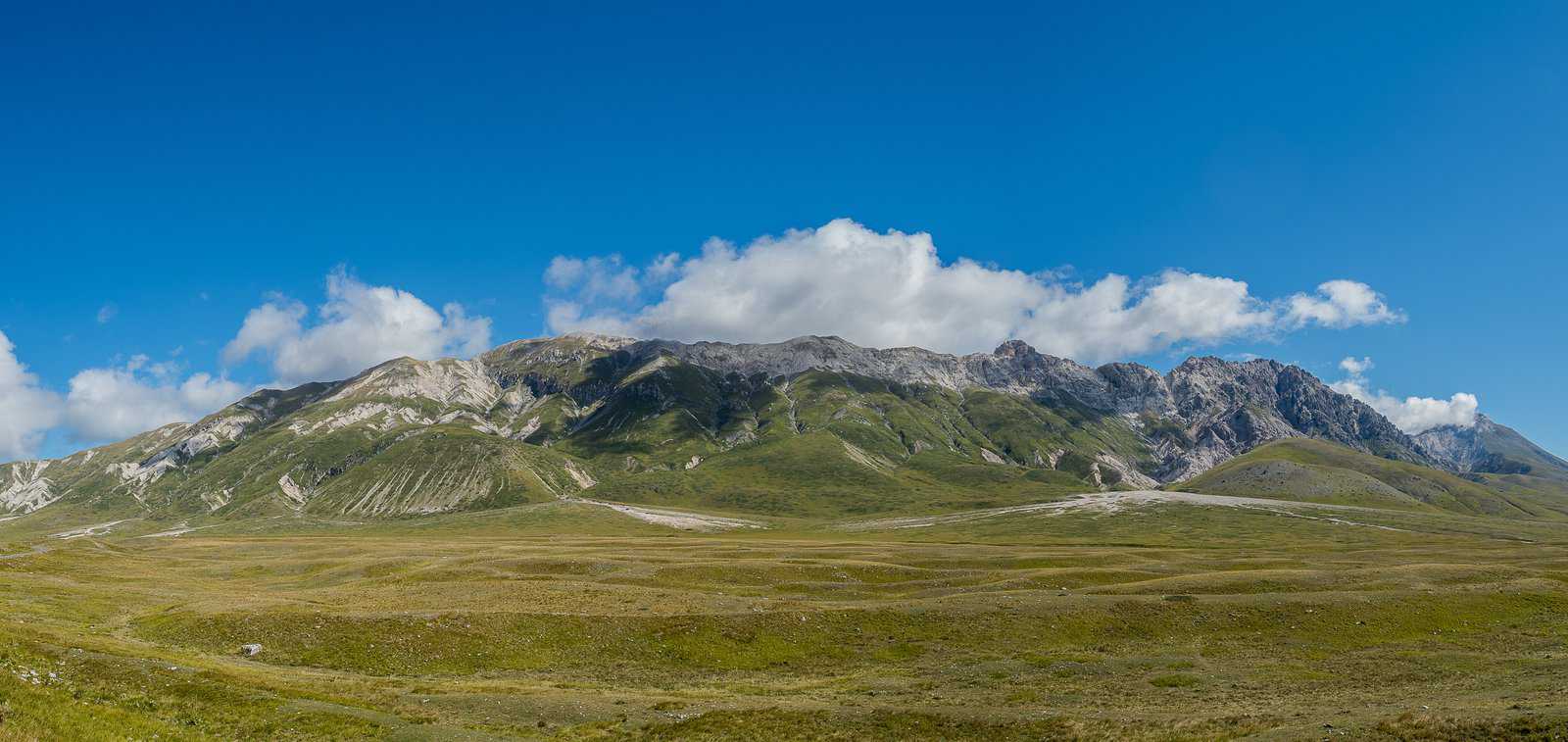
It is a vast area of flat highlands, usually bordered by a slope on all sides, but sometimes the plateaus are surrounded by mountains. However, the plateaus are higher than the terrain that surrounds them.
They can be distinguished from the top by their remarkably flat top, and there are some plateaus that are found between the mountain belts, such as the Altiplano plateau, in Peru. At the same time, the other type is formed away from the mountain ranges. It is produced by geological processes that differ exactly from the plateaus of mountain ranges, such as the Deccan plateau in central India.
Some Notable Differences between Mountains and Plateaus
- The mountains appear as a high ground outcrop, while the plateaus are flat land that is higher than the surrounding plains.
- The mountains have small peaks with sharp and severe slopes, while the plateaus are inclined in a diagonal, light and gradual manner, and the summit of the plateau is wide and completely flat.
- The mountains are the highest natural phenomena, the plateaus are short, but there are some plateaus that are high.
- In the mountains, the climate is gradually changing with the direction to the top of the mountain, as it becomes colder, and the base is warm compared to the summit, or in the plateaus, the climate is relatively dry and tends to moderate.
- The mountains are a natural reservoir of water, as they carry and store millions of tons of clean water, while the plateaus are rich in various mineral deposits.
- The number of people residing in the mountains is few because of the harsh climate and steep slope. As for the plateaus, many cities have settled on its broad summit.
- The mountains attract adventure lovers and mountain climbers, while the plateaus attract many tourists to enjoy their beauty.
- The highest mountains in the world are located in the Himalayan mountain range Mount Everest, and the highest plateaus are the Tibetan plateaus, whose height is 3000-4000 metres.
If you enjoyed this article why not check out some more Geography Facts and Topics: Deserts, Rainbows, Hurricanes, Thunderstorms, Islands, Blizzards, Volcanoes and Continents.
Why not subscribe for as little as £1.99 per month to access over 1000 fun educational videos!

Leave a Reply