The concept of topography is the kind of research concerned with studying the patterns and characteristics of physical land surfaces, such as mountains, valleys, valleys, and other landforms. And with the details of the surrounding environment in general, it may also contain in some of its terms the study of the history and the prevailing local culture of a particular geographical area, and topography in the strict sense includes the recording of topography and landforms.
Topography, as a linguistic term, is of Greek origin, and it consists of two words, topo, meaning Earth, and graphie, meaning recording, writing, or representation. Conventionally, the topography is an accurate representation of the natural and human surface elements of the Earth, using specific and agreed-upon symbols and colours. On these maps, there are natural details such as mountains, valleys, rivers, etc., and any human or industrial activities such as dams and straits.
Topography is automatically linked to a topographic map in which the elements of the Earth’s surface are represented on a flat sheet of paper by showing the three-dimensional elements of the Earth’s surface in the two dimensions of the paper. Where the third dimension, which is height, is represented using contour lines, which are lines that connect land points that have similar heights above sea level.
These lines are separated by the so-called contour interval, the vertical distance between one line and the other. Each contour line is given a number indicating its height. It is worth noting that modern and smart systems such as remote sensing and geographic information systems (GIS) have made making these maps an easier task than before.
Since time immemorial, man has sought to discover the surface of the Earth with all its topography and landmarks, where he resides, or to which place he migrates. This enduring passion for finding the surface of the Earth has emerged from many sciences, such as topography, for example. In this article, the concept of topography will be clarified, and its goal will be determined.
Objectives of topography
- The science of topography is a science in itself that is considered a basis for maps so that planning and reclamation projects are studied and the use of all repairs with regard to surface aspects in terms of engineering, works, construction and land use in various fields of study.
- The most important goals of the study of topography are to exploit the potential of the surface features of the Earth in all conclusions or analyses related to the vital and human elements.
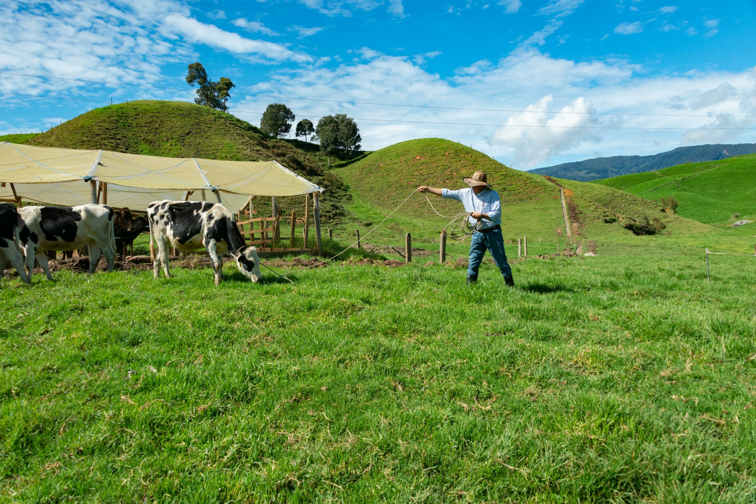
- Topography and its applications help the field of agriculture to obtain methods of water flow, conserve water and also use it to preserve the environment.
- Topography helps in obtaining weather forecasts and weather conditions for that area.
Why study topography?
The main objective of topography is the three-dimensional representation of the Earth’s surface on the topographic map, and this map has hundreds of uses in all geological, environmental and engineering fields.
Navigation on our phones, for example, and these maps are an important tool in creating and planning infrastructure from streets or public buildings and transportation lines, including determining the optimal places to build dams,
The topography also plays a very important role in preserving the soil and the environment by determining the best places to build reserves or the best agricultural lands. Topography can also determine the areas where floods occur and predict the occurrence of some natural disasters related to river flooding, dams, landslides or mountain avalanches.
It is also possible to use these maps in the field of communications by identifying the best sites for building communication towers in the best way to ensure the arrival of strong signals to phone users, for example, by building them in high or moderate places, knowing the areas covered by broadcasting and other engineering matters, and topography also has military and strategic uses.
Especially important in wars because having a topographic map of the land and understanding its nature enables us to know the paths of the expected armies or the nature of the military equipment expected to pass through this area.
Earth’s surface Topography
Many geological terms are related to the concept of topography, and terms associated with this concept and the concept of the topography of the Earth’s surface, in particular, are the following:
1. Longitude and Latitude
The basic coordinate system that describes a specific location on the surface of the globe is what is called latitude and longitude, and it is an essential part of the concept of topography.
To simplify the concept of latitude and longitude, we can imagine a group of planes traversing the Earth by passing through the Earth’s rotation axis between the North and South Poles.
Where the intersection and transgression of these planes with the surface of the Earth is called the longitude, and the longitude is measured in degrees, and the degrees of measurement range from zero to 360 degrees, and the main longitude is the line that passes through the Greenwich line, which is located in England, and the length of longitude is measured 180 degrees west and 180 degrees east.
This spacing between the two longitudes gets smaller whenever the movement is north or south of the equator. Longitude and latitude are essential elements in understanding the concept of topography.
2. Topographic contour lines
Many maps of geographic areas contain a set of curvilinear lines, or horizontal curves, that represent the position of all points on the map that have the same plane. These lines are known as contours, which describe the topography of an area, and maps containing such lines are called topographic maps or topographic maps.
Types of topography
Many special studies are carried out to determine the topographical characteristics in order to give detailed information about an area. The topography is also important for travel, transportation, agriculture and architecture, and it has a major role in determining the methodology through which cities will be designed and planned, and for this, it is necessary to know the types of topography, and they can be mentioned as follows:
Topographic maps show shapes such as hills and mountains. The locations of hills and mountains are determined through what is known as contour lines. Through these maps, we can know the length of the mountain slopes, the structure and composition of the slope, and the location of the slope. On a topographic map, mountains are usually identified from the top of the ridge to the bottom of the valley, where the light colours in the map are especially for heights and higher numbers that show a height in relation to sea level, and it is worth noting that the distinction between mountains and hills lies in height and area, mountains have a greater area and height.
- Green terrain or vegetated terrain
Topographic maps may also contain vegetation, such as forests. Vast, dense forests are represented in dark green on the map, and scattered vegetation in fields and plains is represented in light green.
Large and deep-water bodies are represented in the dark blue, and these bodies include lakes and smaller ponds, as white areas express glaciers and falling snow.
Maps
A map is a graphic representation that focuses on the relationships between the elements of space, usually on a flat surface for an entire or part of an area, and maps are drawn by professional cartographers, and cartography refers to their study, where cartography developed from paper drawings to drawing using devices. There are many different types of maps that are categorised according to their uses, including:
- Electronic maps.
- Climate maps.
- Geographical and non-geographical maps.
- General purposes maps.
- Topographic maps.
What is a topographic map?
The topographical study is a wide field of study which takes into account the natural and artificial manifestations:
- Show heights: This is done by using the following:
- Contour lines.
- Colours.
- Icons.
- Posters and graphic representations.
- Explain the natural and artificial manifestations: The topographical maps of the Earth’s surface are described based on the natural resources in Canada, and they represent the following:
- Mountains, valleys, lakes and rivers.
- Forest cover.
- Administrative and populated areas.
- Transportations.
- Man-made industrial appearances.
- Contains reference information for surveyors and mapmakers: It also contains guideposts for surveyors, baselines, longitudes and magnetic declinations.
Topographic maps are used in many fields:
- Geographical planning.
- Earth sciences like mining.
- Geographical specialisations.
- Architecture and civil engineering.
- Recreational uses, such as climbing and hiking.
Topographical maps types:
- General topographic maps.
- Military topographic maps.
- Administrative topographic maps.
Margins of the topographic map
The margins in topographic maps differ significantly, as the information in these maps is more uniform than in other maps, and there are also several types of topographic maps, and these margins are significant in giving information to read and understand the topographic maps. After the statement of the topographic map, it is necessary to mention the most significant margins of the map are as follows:
- The identity of the map: It is located in the upper right margin of the map, where it displays the quadrilateral name, the name of the state and the name of the province. Shows approximate location within the country.
- Responsibility, methods, and dates: They are located in the lower left margin, where the organisations responsible for map information are presented, as well as the classification methods and dates of field surveys, aerial photography and horizontal datum, and the dates of dropping the used maps, and an explanation of the subdivision of public lands is also presented.
- Scale: The scale is located in the centre of the bottom margin and is written as a numerical ratio and as a graphical bar scale in either the mile, foot, or kilometre unit.
- Contour distance and vertical datum: It is found at the bottom of the tape tables, where the altimetry is recorded, and the vertical datum is the mean sea level.
What affects the formation of soil?
Soil is vital in the ecosystem to support plant life and is home to many living organisms on the Earth’s surface. Soil differs in its chemical and physical properties, such as colour, pH and permeability. Several factors affect the properties of soil during the process of its formation processes and give it its various characteristics. The most important factors of soil formation are:
- Climate
The effect of climate is one of the factors that affect soil formation, as temperature, rainfall, wind, and soil moisture cause different patterns of weathering and erosion, which leads to the processes of dissolving mineral materials and producing organic materials. The soil is rich in organic matter and grows faster in warm climates and wet, such as rainforests. It is relatively slow when the climate is cooler and drier, and rain dissolves some organic matter in the soil and transports it, which affects the reduction of its fertility.
2. Parent Material
Parent material is one of the factors affecting the properties of soil formation. The type of parent material is determined depending on the minerals it contains, and it consists of mineral and organic materials that have been subjected to weathering processes. The reason is that the parent material is similar in composition to the original rock, and the nature of the organic material in the original soil is very dark and spongy, which is known as humus.
3. Topography and Relief
Topography and Relief) from mountains, depressions, and plains affect the flow of water and its negative impact on the properties and fertility of the soil. The soil in steep areas is more susceptible to erosion processes, and thus the transfer of large quantities of minerals and rocks and a lack of organic matter, which affects its fertility.
4. Time
Time changes or time are important factors in soil formation, as soil formation is a dynamic process that passes through many stages, so the processes of sediment transport, analysis, transformation into organic materials and deposition on the surface of the soil during the period of its formation take long periods of time.
5. Organisms
The role of living organisms in soil formation and microorganisms is significant in soil formation. When plants and animals die and fall on the soil, fungi, bacteria, and worms decompose them and transform their remains into organic materials such as charcoal and humus, which increases soil fertility.
Soil is a mixture of organic and inorganic materials, and there are a group of factors that affect the process of soil formation in nature, and all of them involve the physical, chemical and biological properties of the soil.
What are the processes of soil formation?
It takes tens of thousands of years for soil to form on the Earth’s surface, as it is formed continuously but slowly. Soil is a mixture of organic materials and mineral materials that are found in the upper layer of the Earth’s crust resulting from a fracture in the rocks, the surface crust of the Earth, and their mixing with other materials.
The decomposing organic matter of plants and animals helps to provide food for plants, and there are significant factors that unite together to form the soil, and the most important processes of soil formation are:
- Filtrate.
- Gathering.
- Calcification.
- Shift.
Soil formation process
A slow process that requires very long periods of time, which was formed by the effect of a group of processes on rocks and minerals and transformed them into soil characterised by the characteristics of full-of-life manifestations.
What types of soil are formed?
Soil is a thin crust covering the surface of the Earth, and it is one of the essential basic layers necessary for life on its surface. There are many types of soil on the surface of the Earth that differ in their characteristics and classification depending on the geographical area to which plants belong and the climatic changes that affect them, and they are as follows:
- Sandy soil: It is characterised by its drainage of water and its inability to retain its organic and mineral substances, and therefore it is considered soil not suitable for agriculture except by adding compost and improving its quality.
- Clay soil: It is a soil that is characterised by its viscous and wet nature, so it does not allow water to drain through it, unlike sandy soil, and thus retains organic and mineral substances.
- Silt soil: It is a mixture of several types of soil, such as sandy, clay and silt soils, and this soil is rich in organic matter and is suitable for agriculture.
- Chalk soil: It is rocky and shallow soil rich in limestone and works to drain water so that it does not retain its organic matter, which needs nutrients and fertilisers to make it more fertile and suitable for agriculture.
- Celtic soil: It is clay soil rich in nutrients, consisting of river deposits, and it is one of the suitable types for agriculture.
- Brown soil: It is soil characterised by its dark colour and soft texture. It is soil rich in organic matter. Its soil also contains acidic water, and it has the ability to retain moisture during the dry period and its ability to protect the roots of plants during the period of high humidity.
There are many types and forms of soil, and they differ in their characteristics according to the raw material that makes them up. It can be noted that soils rich in organic materials have high fertility and are suitable for agriculture. In contrast, soils that lack these materials have low fertility and are not suitable for agriculture except by providing them with nutrients such as fertilisers.

Leave a Reply