Asia Facts for Kids: Asia is the largest continent on Earth, covering around 30% of the world’s land and home to about 4.8 billion people. It has 47 United Nations member states, plus the State of Palestine, and Russia stretches across it too. This guide gives one interesting, checked fact about each of those 49 countries, grouped by region so that pupils can find them on a map.
The facts are written for primary-aged children and the adults who teach them. Each one has been chosen because it says something real about a country’s physical or human geography, rather than repeating a stereotype, and because it gives children a reason to recall where that country is. That matters for the National Curriculum in England, where pupils name and locate the seven continents at Key Stage 1, learn about time zones, climate zones and natural resources at Key Stage 2, and study a region of Asia in depth at Key Stage 3. If your class is starting with the bigger picture, our continents facts for kids guide is a good place to begin.
LearningMole is a free UK educational platform founded by former primary teacher Michelle Connolly, and every resource on the site, including this one, costs nothing to use. Alongside the 49 country facts, you will find a table of Asia’s record-breaking places, a short explanation of how these facts link to the curriculum, classroom and home activities, and answers to the questions children most often ask about Asia. For more general geography, our geography facts for kids collection covers the rest of the world.
Asia has 47 UN member states and one observer state
The United Nations counts 47 member states in Asia, using the regional groupings in its M49 standard. The State of Palestine is a non-member observer state at the UN, so many lists, including this one, add it to make 48. Russia is placed in Eastern Europe by the UN because most of its people live west of the Ural Mountains, but around three-quarters of its land is in Asia, so it has its own section below.
Some countries sit on the line between two continents. Türkiye, Kazakhstan, Georgia and Azerbaijan all have land or territory that geographers place in both Europe and Asia, and Egypt’s Sinai Peninsula is in Asia even though the rest of Egypt is in Africa. Some lists also include places whose status is disputed, such as Taiwan. When children find different totals in different books, that is usually because the books are using different rules, and comparing those rules makes a good discussion for an upper Key Stage 2 class.
Record-breaking places in Asia
Asia holds more geographical records than any other continent, from the highest mountain to the lowest point on land. LearningMole has gathered the main ones in the table below, with a suggestion for where each fits in primary geography teaching.
Record
Where
Measurement
Classroom use
Largest country entirely in Asia
China
About 9.6 million km²
Comparing country sizes with the UK
Smallest country in Asia
Maldives
About 300 km²
Island and coastline work
Highest mountain on Earth
Mount Everest, on the Nepal and China border
8,849 m
Mountains and physical features (KS2)
Lowest point on land
Dead Sea shore, Israel, Jordan and the West Bank
More than 430 m below sea level
Comparing high and low places
Deepest lake on Earth
Lake Baikal, Russia
1,642 m
Rivers, lakes and the water cycle
Most people
India
More than 1.4 billion
Population and settlement (KS2 human geography)
Largest landlocked country
Kazakhstan
About 2.7 million km²
Coasts and access to the sea
Most islands in one country
Indonesia
More than 17,000
Islands and archipelagos
Facts about the countries of East Asia
East Asia includes the world’s most populous region and some of its most crowded and most empty places. The five countries in this region sit between the Pacific Ocean and the deserts and grasslands of the interior.
Country
Capital
Type of fact
China
Beijing
Human
Japan
Tokyo
Physical
Mongolia
Ulaanbaatar
Human and physical
North Korea
Pyongyang
Human and physical
South Korea
Seoul
Human
China keeps one clock across five time zones
China stretches about 5,000 kilometres from east to west, which is wide enough for five time zones, yet the whole country runs on a single official clock called Beijing Time. In the far western region of Xinjiang, this means the sun can rise as late as ten o’clock in the morning in winter, and many people there also use an unofficial local time two hours behind. Our ancient China facts for kids explain how this huge country first came together.
Japan has more than 14,000 islands
Japan is made up of 14,125 islands, according to a count published by the Geospatial Information Authority of Japan in 2023. The previous official figure, from 1987, was 6,852, and the total roughly doubled because modern digital maps could pick out small islands the old survey missed. Most people live on the four largest islands, Honshu, Hokkaido, Kyushu and Shikoku, and the mountains between them help explain why the Japanese language has so many regional dialects.
Mongolia has more horses than people
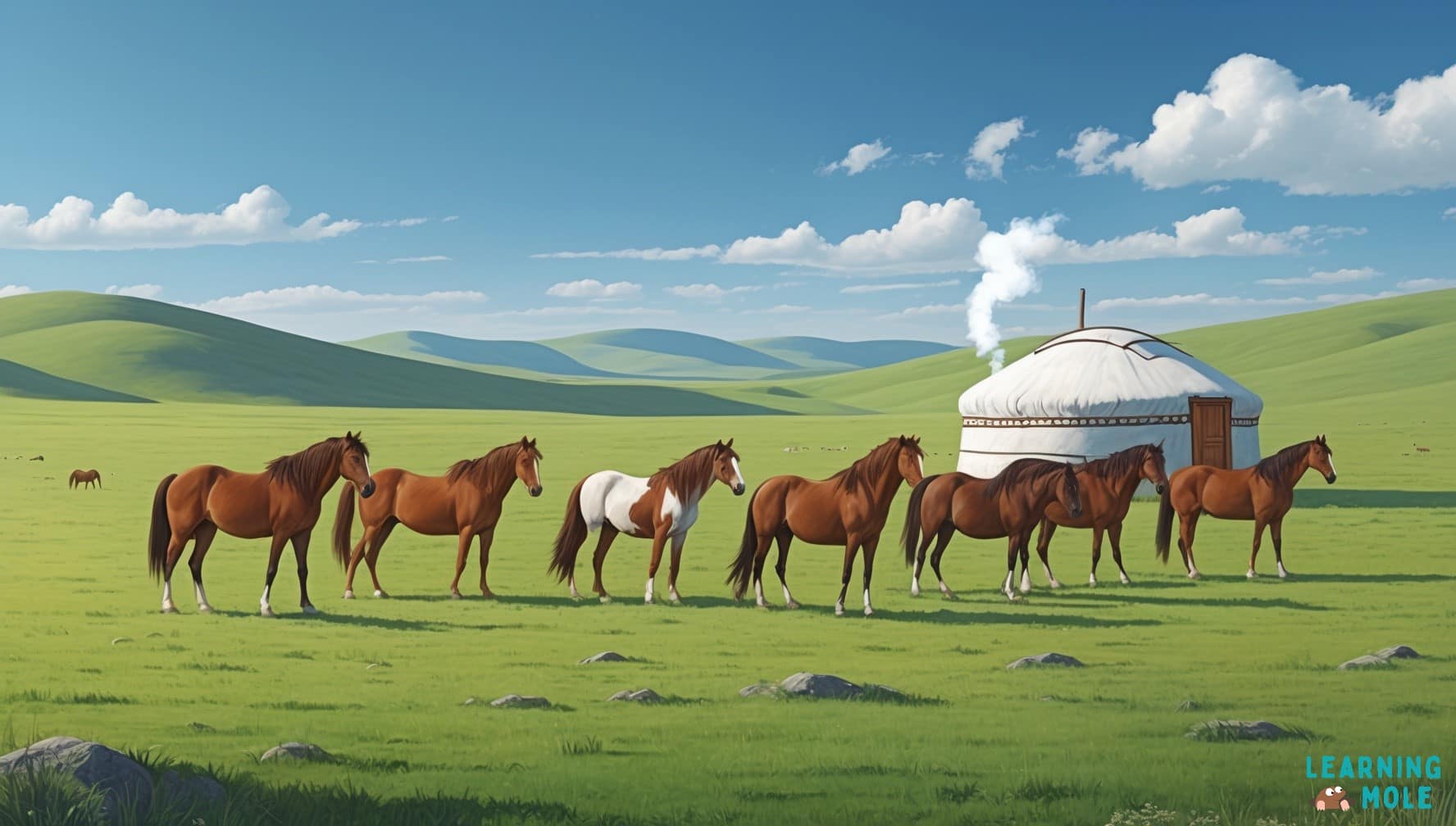
Mongolia is the most sparsely populated independent country in the world, with roughly two people for every square kilometre. Its population is around 3.5 million, but it has more than four million horses, and many families still keep herds on the open grassland called the steppe. Horse racing over long distances is one of the main events at the Naadam festival held every July.
North Korea’s border strip has become a wildlife refuge
North Korea and South Korea are separated by the Korean Demilitarised Zone, a strip of land about 250 kilometres long and 4 kilometres wide that people have been kept out of since 1953. With almost no farming, building or traffic for more than 70 years, it has turned into an unexpected home for wildlife. Rare red-crowned cranes spend the winter there, and scientists use the zone to study what happens to land when people leave it alone.
South Korea’s alphabet was designed to be easy to learn
The Korean alphabet, Hangul, was created in the 15th century under King Sejong the Great so that ordinary people could learn to read and write without studying thousands of Chinese characters. It has 24 basic letters, and the shapes of the consonants were designed to show the position of the mouth or tongue when making each sound. South Korea celebrates Hangul Day every year on 9 October.
Facts about the countries of South Asia
South Asia runs from the deserts of Iran to the rainforests of Sri Lanka, with the Himalayas along its northern edge. The UN places Iran in this region, which surprises many people who think of it as part of the Middle East.
Country
Capital
Type of fact
Afghanistan
Kabul
Human
Bangladesh
Dhaka
Physical
Bhutan
Thimphu
Human
India
New Delhi
Human
Iran
Tehran
Physical
Maldives
Malé
Physical
Nepal
Kathmandu
Human and physical
Pakistan
Islamabad
Human
Sri Lanka
Sri Jayawardenepura Kotte
Human
Afghanistan has mined blue lapis lazuli for 6,000 years
The mines of Sar-i Sang in north-eastern Afghanistan have produced the deep blue stone lapis lazuli for more than 6,000 years. Traders carried it along routes that later became part of the Silk Road, and it reached ancient Egypt, where it was set into jewellery and into the burial mask of Tutankhamun. Ground into powder, it also made ultramarine, one of the most expensive paints European artists could buy.
Bangladesh divides its year into six seasons
The Bengali calendar used in Bangladesh splits the year into six seasons of about two months each: summer, monsoon, autumn, late autumn, winter and spring. The year begins in mid-April with Pohela Boishakh, the Bengali New Year, at the start of the hot, dry summer. Much of the country lies on the delta of the Ganges and Brahmaputra rivers, so the monsoon rains shape farming and daily life more than any other season.
Bhutan’s capital has no traffic lights
Thimphu, the capital of Bhutan, has no traffic lights. A set was reportedly installed in the 1990s and then removed because residents preferred the traffic police officers who direct cars by hand at the busiest junction. Bhutan is also known for measuring its progress through Gross National Happiness, which looks at people’s wellbeing and the health of the environment as well as how much money the country makes.
India has one of the highest cricket grounds in the world
The cricket ground at Chail, in the northern state of Himachal Pradesh, sits about 2,444 metres above sea level, which makes it one of the highest in the world. Maharaja Bhupinder Singh of Patiala built it in 1893, and it now belongs to Chail Military School, whose pupils use it as their playing field. India also became the world’s most populous country in 2023, and children can find out more about one of its main languages in our Hindi language facts for kids.
Iran has a beach with bright red sand
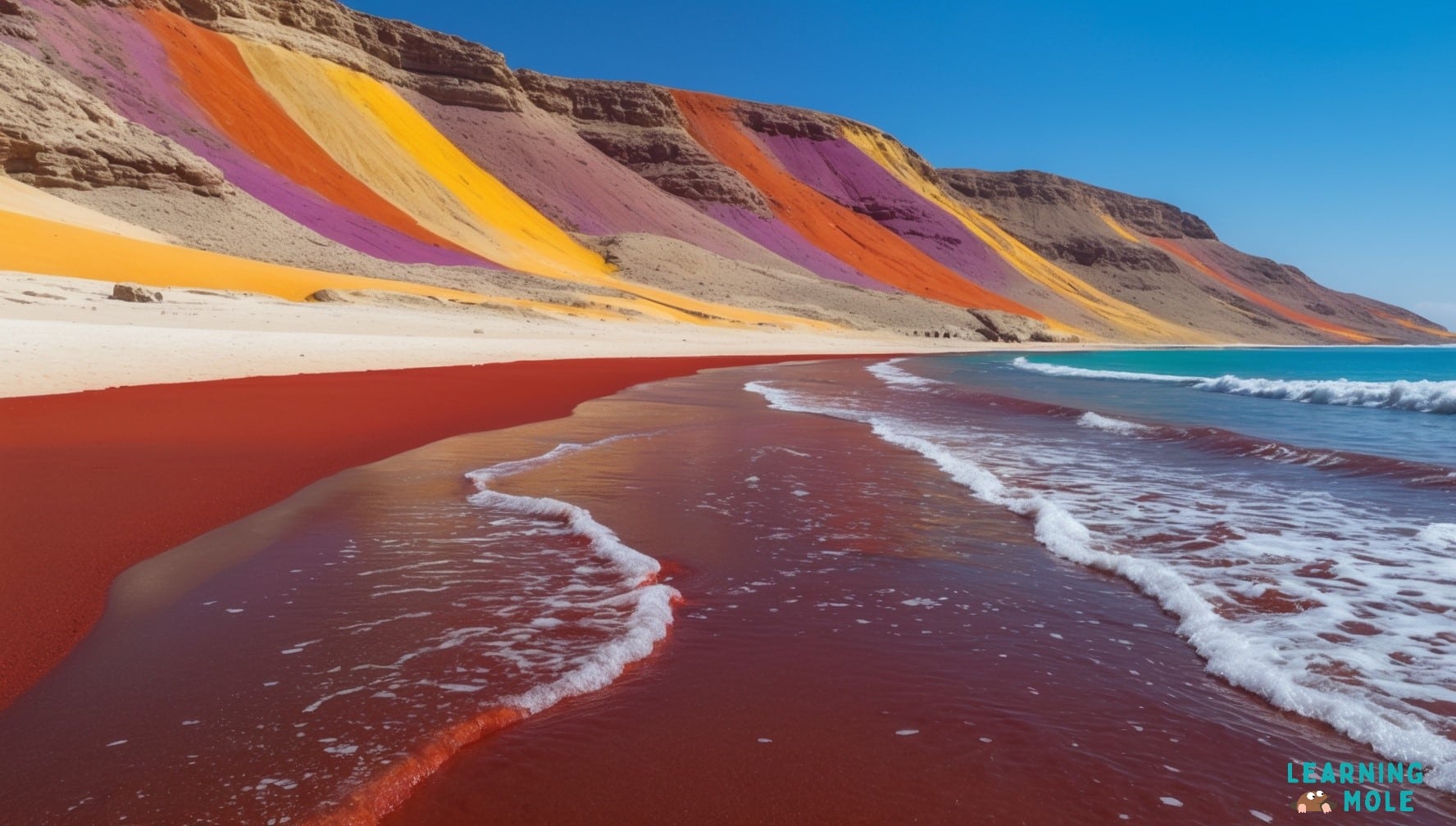
Hormuz Island, about 8 kilometres off the southern coast of Iran, is famous for its red beach. The soil is rich in iron oxide, the same compound that gives rust and the planet Mars their colour, so waves washing over the shore turn the shallow water red. The island’s rocks and hills also show bands of yellow, orange and purple from other minerals in the ground.
The Maldives is the lowest country in the world
The Maldives is the smallest country in Asia by area, at about 300 square kilometres, and the lowest country in the world, with an average height of roughly 1.5 metres above sea level. In 2009, its government held a cabinet meeting underwater, with ministers in scuba gear, to draw attention to the risk rising seas pose to low-lying islands. Our guide to facts about islands explains how coral islands like these form.
Nepal has the only national flag that is not a rectangle
Nepal’s flag is made of two stacked crimson triangles with a blue border, with a white moon in the upper triangle and a white sun in the lower one, and it is the only national flag in the world that is not a rectangle or a square. Nepal is also home to eight of the world’s ten highest mountains, including Mount Everest on its border with China.
Pakistan has the highest paved border crossing on Earth
The Karakoram Highway links Pakistan with China across some of the highest mountains on Earth, running for about 1,300 kilometres. At the Khunjerab Pass, it reaches about 4,693 metres above sea level, making it the highest paved international border crossing in the world. Building it took around 20 years. Workers had to cut through rock, clear landslides and cope with harsh mountain winters, and the road finally opened to the public in 1986.
Sri Lanka elected the world’s first woman prime minister
In 1960, Sri Lanka, then called Ceylon, elected Sirimavo Bandaranaike as prime minister, making her the first woman in the world to hold that role. She served three terms, from 1960 to 1965, from 1970 to 1977 and from 1994 to 2000. Her daughter, Chandrika Kumaratunga, later became the country’s president.
Facts about the countries of Southeast Asia
Southeast Asia is a region of peninsulas and island chains between the Indian and Pacific Oceans. Its eleven countries include the world’s largest archipelago and some of its oldest rainforests.
Country
Capital
Type of fact
Brunei
Bandar Seri Begawan
Human
Cambodia
Phnom Penh
Human
Indonesia
Jakarta
Physical
Laos
Vientiane
Physical
Malaysia
Kuala Lumpur
Physical
Myanmar
Naypyidaw
Human
Philippines
Manila
Human
Singapore
Singapore
Human
Thailand
Bangkok
Human
Timor-Leste
Dili
Human
Vietnam
Hanoi
Physical
Brunei’s royal palace has nearly 1,800 rooms
The Istana Nurul Iman, the official home of the Sultan of Brunei, is often described as the largest residential palace in the world. It has around 1,788 rooms, 257 bathrooms, five swimming pools and space for 110 cars. The Filipino architect Leandro Locsin designed it, and it was completed in 1984, paid for largely by Brunei’s wealth from oil and gas.
Cambodia’s flag shows the world’s largest religious monument
The temple of Angkor Wat appears in the centre of Cambodia’s national flag. Built in the 12th century, it is the largest religious monument in the world, and it began as a Hindu temple before gradually becoming a Buddhist one. Angkor Wat is part of the Angkor UNESCO World Heritage Site, which was listed in 1992 and covers the remains of several capitals of the Khmer Empire.
Indonesia is the world’s largest island country
Indonesia is made up of more than 17,000 islands that stretch around 5,000 kilometres from west to east, across three time zones. The islands range from tiny coral islets to parts of Borneo and New Guinea, which Indonesia shares with other countries. It also has more active volcanoes than any other country, which makes it a strong example for pupils working through our volcano facts for kids.
Laos is the only landlocked country in Southeast Asia
Laos is the only country in Southeast Asia with no coastline, bordered by China, Myanmar, Thailand, Cambodia and Vietnam. The Mekong River runs along much of its western border and is central to farming, fishing and transport. On the Xieng Khouang Plateau, thousands of large stone jars, many around 2,000 years old, make up the Plain of Jars, which became a UNESCO World Heritage Site in 2019.
Malaysia is split in two by the South China Sea
Malaysia is divided into two parts by the South China Sea. Peninsular Malaysia, where Kuala Lumpur sits, lies south of Thailand, while East Malaysia covers much of the northern part of the island of Borneo. Taman Negara, the national park in Peninsular Malaysia, protects a rainforest estimated to be around 130 million years old, and our rainforest facts for kids explain how forests like this support so much wildlife.
Myanmar welcomes the new year with a water festival
Myanmar celebrates its new year with Thingyan, a water festival held in mid-April at the hottest time of the year. For several days, people splash water on friends, neighbours and passers-by, a tradition meant to wash away the bad luck of the old year. Similar water festivals take place at the same time in Thailand, Laos and Cambodia, and our guide to cultural traditions around the world compares more celebrations like these.
The Philippines has one of the longest Christmas seasons
In the Philippines, decorations, lights and carols appear from the start of September, the first of the “ber months”, and celebrations continue until the Feast of the Three Kings in early January. From 16 to 24 December, many families attend Simbang Gabi, a series of nine early-morning or evening church services. The country itself is an archipelago of more than 7,600 islands.
Singapore is a whole country inside one city
Singapore is a city-state, a single city that is also an independent country, with the city of Singapore as its capital. At about 735 square kilometres, it is smaller than Greater London. Singapore has grown by around a quarter since the 1960s by reclaiming land from the sea, using sand and rock to build new ground along its coast.
Thailand was never colonised by a European power
Thailand is the only country in Southeast Asia that was never ruled by a European colonial power. Thai meals are usually eaten with a spoon and fork rather than chopsticks, with the fork used to push food onto the spoon. Chopsticks are mainly used for noodle dishes, and knives are rarely needed at the table because food is cut into small pieces before it is cooked.
Timor-Leste is the newest country in Asia
Timor-Leste, also called East Timor, became independent in 2002, making it the first new sovereign country of the 21st century. It shares the island of Timor with Indonesia and lies to the north of Australia. In October 2025, Timor-Leste became the 11th member of ASEAN, the Association of Southeast Asian Nations, which was the group’s first new member since 1999.
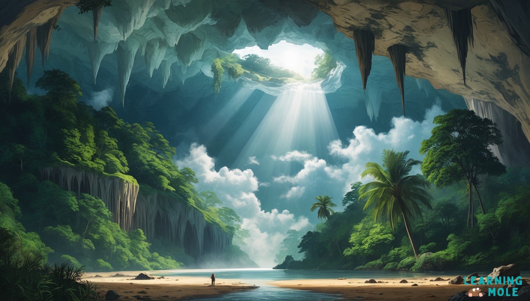
Vietnam has the largest cave passage in the world
Hang Son Doong, in central Vietnam, is the largest known cave passage in the world by volume. A local man, Ho Khanh, found its entrance in 1990, and a British caving team surveyed it in 2009. In places, the roof has collapsed, letting sunlight reach the cave floor so that a small jungle grows underground, and a river runs through the cave.
LearningMole’s educational videos help children picture the places in this guide, from island chains to mountain ranges, and the video below gives a short overview of the continent.
Facts about the countries of Central Asia
Central Asia is a region of steppe grassland, deserts and high mountains with no coastline on the open ocean. All five of its countries are landlocked, and one of them is doubly landlocked.
Country
Capital
Type of fact
Kazakhstan
Astana
Human and physical
Kyrgyzstan
Bishkek
Human
Tajikistan
Dushanbe
Physical
Turkmenistan
Ashgabat
Human
Uzbekistan
Tashkent
Physical
Kazakhstan is the largest landlocked country on Earth
Kazakhstan covers about 2.7 million square kilometres, more than eleven times the size of the UK, which makes it the largest landlocked country in the world. It is also where human space travel began: Yuri Gagarin’s flight in 1961 launched from the Baikonur Cosmodrome on the Kazakh steppe, which Russia still leases for rocket launches today.
Kyrgyzstan’s national epic is one of the longest poems ever recorded
The Epic of Manas, the traditional poem of the Kyrgyz people, is one of the longest epic poems in the world, with some recorded versions running to around 500,000 lines. It tells the story of the hero Manas and his descendants, and for centuries it was passed on by storytellers called manaschi, who recited it from memory. UNESCO added the Kyrgyz epic trilogy to its list of Intangible Cultural Heritage in 2013.
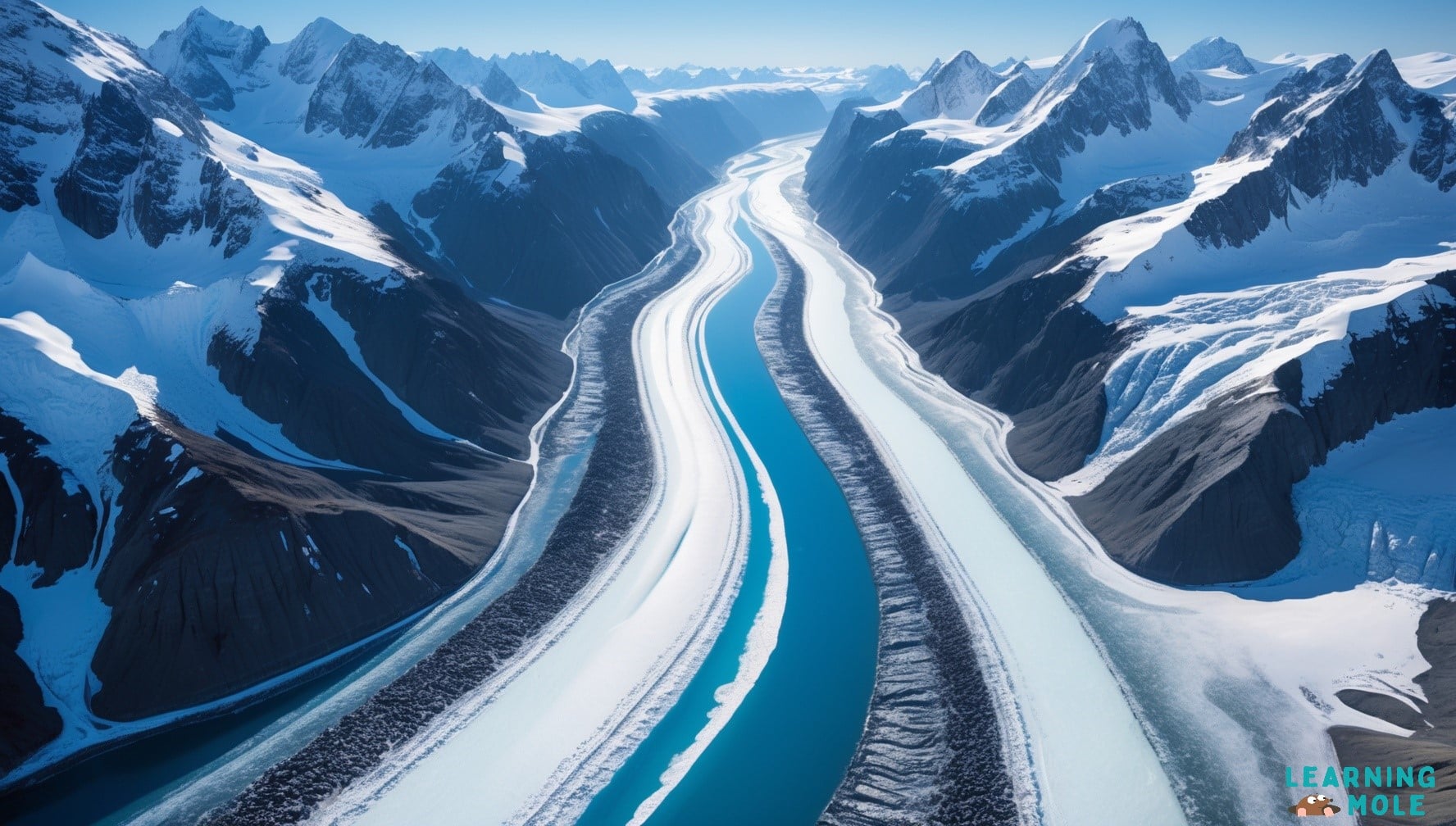
Tajikistan has the longest glacier outside the polar regions
The Fedchenko Glacier in the Pamir Mountains of Tajikistan is about 77 kilometres long, making it the longest glacier in the world outside the Arctic and Antarctic. More than 90% of Tajikistan is mountainous, and meltwater from its glaciers feeds rivers that supply farms and towns across Central Asia.
Turkmenistan has a national holiday for melons
Turkmenistan celebrates melons with a national holiday, Melon Day, held on the second Sunday of August each year. The country grows hundreds of varieties of melon in its hot, dry climate, and the day is marked with markets, tasting and competitions. Turkmenistan is also home to the Darvaza gas crater, a pit in the Karakum Desert that has been burning for decades.
Uzbekistan is one of only two doubly landlocked countries
Uzbekistan is surrounded entirely by other landlocked countries: Kazakhstan, Kyrgyzstan, Tajikistan, Afghanistan and Turkmenistan. The only other doubly landlocked country in the world is Liechtenstein in Europe. To reach the open ocean from Uzbekistan, you would have to cross at least two international borders.
Facts about the countries of Western Asia
Western Asia covers the Caucasus Mountains, the Arabian Peninsula and the lands around the eastern Mediterranean. Some of the earliest farming, writing and cities in the world began in this region.
Country
Capital
Type of fact
Armenia
Yerevan
Human
Azerbaijan
Baku
Physical
Bahrain
Manama
Human
Cyprus
Nicosia
Human
Georgia
Tbilisi
Human
Iraq
Baghdad
Human
Israel
Jerusalem (status disputed internationally)
Physical
Jordan
Amman
Human
Kuwait
Kuwait City
Physical
Lebanon
Beirut
Human and physical
Oman
Muscat
Human
Qatar
Doha
Physical
Saudi Arabia
Riyadh
Physical
State of Palestine
Ramallah (administrative centre)
Human
Syria
Damascus
Human
Türkiye
Ankara
Human and physical
United Arab Emirates
Abu Dhabi
Human
Yemen
Sana’a
Human
Armenia is where the oldest known leather shoe was found
In 2008, archaeologists working in the Areni-1 cave in Armenia found the oldest known leather shoe in the world, about 5,500 years old. It was made from a single piece of cowhide and laced with a leather cord, and the cool, dry conditions inside the cave had preserved it, along with the grass that had been stuffed inside. It is roughly a modern European size 37.
Azerbaijan has more mud volcanoes than any other country
Azerbaijan has several hundred mud volcanoes, more than any other country, many of them near Baku and in Gobustan National Park. Instead of lava, they push out cold mud, water and natural gas, and the gas occasionally catches fire. Pupils who have studied volcanoes at Key Stage 2 can compare these with the volcanoes of Indonesia.
Bahrain is connected to Saudi Arabia by a 25-kilometre causeway
Bahrain is an island country in the Persian Gulf, also called the Arabian Gulf, and the third-smallest country in Asia after the Maldives and Singapore. The King Fahd Causeway, which opened in 1986, links Bahrain to Saudi Arabia across 25 kilometres of sea. Halfway along, on an artificial island, travellers pass through border control.
Cyprus is in Asia but belongs to the European Union
Cyprus lies in the eastern Mediterranean Sea and is geographically part of Western Asia, yet it joined the European Union in 2004. It is the third-largest island in the Mediterranean, after Sicily and Sardinia. Its capital, Nicosia, has been divided by a United Nations buffer zone since 1974.
Georgia has its own alphabet found nowhere else
Modern Georgian is written in a script called Mkhedruli, which has 33 letters and is not used for any other major language. In 2016, UNESCO recognised the living culture of Georgia’s three writing systems as Intangible Cultural Heritage. Georgia sits where Asia meets Europe in the Caucasus mountains, and geographers disagree about which continent it belongs to.
Iraq is where some of the earliest writing began
Some of the earliest known writing in the world comes from Sumer, in what is now southern Iraq, from around 3200 BC. It began as marks pressed into wet clay tablets to record grain, animals and trade. Over time, these marks developed into the wedge-shaped script called cuneiform, which scribes wrote with a cut reed. Cuneiform stayed in use for about 3,000 years, and thousands of tablets survive in museums today, including the British Museum in London.
Israel shares the lowest point on land
The shore of the Dead Sea, which Israel shares with Jordan and the West Bank, is the lowest point on land on Earth, at more than 430 metres below sea level. The water is almost ten times saltier than the ocean, so swimmers float easily and fish cannot survive in it. The level of the Dead Sea has been falling by around a metre a year, so its shoreline keeps moving.
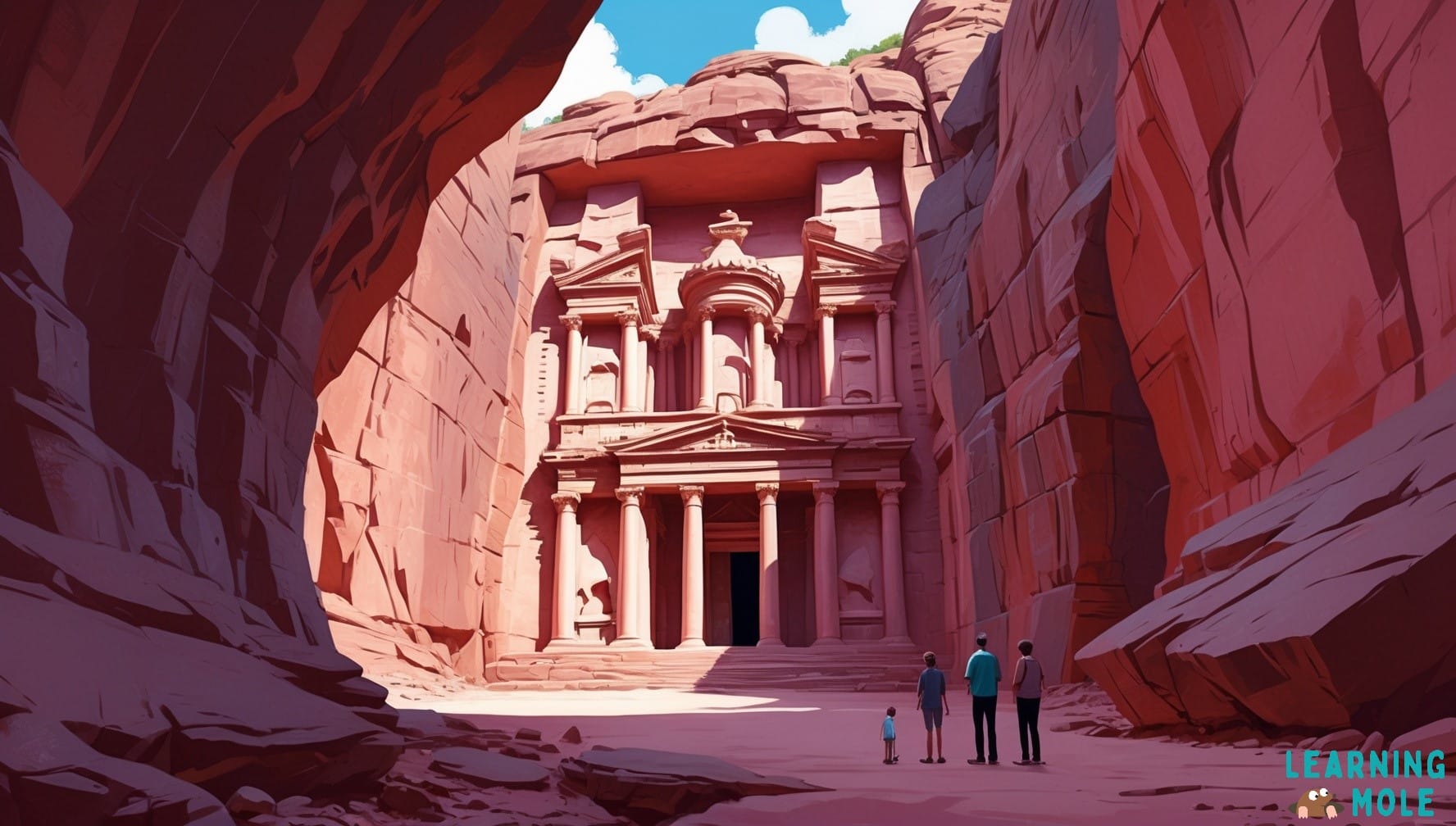
Jordan has a city carved from pink rock
Petra, in southern Jordan, is a city carved into red and pink sandstone cliffs more than 2,000 years ago by the Nabataeans, who grew wealthy from trade routes across the desert. Its most famous building, known as the Treasury, has a front about 40 metres tall cut straight into the rock. Petra became a UNESCO World Heritage Site in 1985.
Kuwait has no rivers or natural lakes
Kuwait has no permanent rivers or natural lakes and very little rainfall. Most of its drinking water comes from desalination plants that remove the salt from seawater taken from the Persian Gulf. Its capital, Kuwait City, sits on Kuwait Bay, a sheltered natural harbour that helped the city grow as a trading port long before oil was discovered.
Lebanon has a cedar tree on its flag
A green cedar tree sits in the centre of Lebanon’s flag. The cedars of Lebanon grow high in the mountains and were prized in the ancient world for building ships and temples, and they appear in some of the oldest written stories, including the Epic of Gilgamesh. One surviving grove, the Forest of the Cedars of God, is part of a UNESCO World Heritage Site listed in 1998.
Oman has no passenger railway
Oman has no passenger trains, so people travel between its cities by car, bus or plane. Work has started on Hafeet Rail, a line planned to link the Omani port of Sohar with Abu Dhabi in the United Arab Emirates. The capital, Muscat, sits on the coast of the Gulf of Oman, with the Al Hajar Mountains rising to around 3,000 metres behind it.
Qatar has an inland sea surrounded by sand dunes
In the south-east of Qatar, the sea pushes far inland at Khor Al Adaid, an area often called the Inland Sea, where tall sand dunes run right down to the water. It is one of the few places in the world where this happens, and it is protected as a nature reserve. Qatar’s capital is Doha, and the country hosted the FIFA World Cup in 2022.
Saudi Arabia is the largest country without a permanent river
Saudi Arabia is the largest country in the world without a permanent river. Its valleys, called wadis, fill with water only after rare heavy rain and are dry for the rest of the year. Most of the country’s fresh water comes from underground stores called aquifers and from desalination, and the Rub’ al Khali, or Empty Quarter, in the south is one of the largest sand deserts on Earth.
Olive harvesting is a family tradition in Palestine
Olive trees have been grown in Palestine for thousands of years, and the olive harvest in October and November is one of the most important events of the year for many families, who pick the fruit together by hand. Olive trees can live for many centuries, and some in the region are believed to be well over a thousand years old. The State of Palestine is a non-member observer state at the United Nations, which is why some lists of Asian countries include it, and others do not.
Syria’s capital is one of the oldest cities in the world
Damascus, the capital of Syria, is often described as one of the oldest continuously inhabited cities in the world, with people living there for at least 4,000 years. Its old city, with markets, mosques and Roman remains, became a UNESCO World Heritage Site in 1979. Aleppo, in the north of the country, has a similarly long history.
Türkiye’s largest city is in two continents
Istanbul, Türkiye’s largest city, sits on both sides of the Bosporus Strait, so part of the city is in Europe, and part is in Asia. Thousands of people cross between the two continents every day by ferry, by bridge and through an undersea rail tunnel. Istanbul is not the capital, though, as that role belongs to Ankara in central Türkiye.
The United Arab Emirates has the world’s tallest building
The Burj Khalifa in Dubai is the tallest building in the world, at 828 metres, more than two and a half times the height of the Shard in London. In 2017, the United Arab Emirates also became the first country to appoint a government minister for artificial intelligence. Its capital is Abu Dhabi, not Dubai, which is a common mistake in quizzes.
Yemen has a city of mud-brick skyscrapers
The walled city of Shibam in Yemen is famous for its tall tower houses made of mud brick, many of them between five and eleven storeys high and built mostly in the 16th century. Because the buildings rise so close together out of the desert, Shibam is often called “the Manhattan of the desert”. It became a UNESCO World Heritage Site in 1982.
Russia stretches across Europe and Asia
Russia is the largest country in the world, and about three-quarters of its land lies in Asia, in the vast region called Siberia. It stretches across 11 time zones, so when people in Moscow are having breakfast at eight o’clock, it is already five in the afternoon on the Kamchatka Peninsula in the far east. Siberia is also home to Lake Baikal, the deepest lake on Earth at 1,642 metres and one of the oldest, at around 25 million years.
Because most Russians live in the European part of the country, the UN counts Russia as a European country, while many atlases and school resources list it under both continents. For pupils, it is the clearest example of a transcontinental country, and its time zones link directly to the Key Stage 2 requirement to understand time zones, including day and night.
How these Asia facts link to the National Curriculum
LearningMole wrote the Asia facts in this guide to support locational knowledge, place knowledge, and human and physical geography across Key Stages 1 to 3 of the national curriculum in England for geography. At Key Stage 1, pupils name and locate the world’s seven continents and five oceans, and a single memorable fact about China or India gives Asia an identity on the world map.
“When a child knows that Bhutan has no traffic lights in its capital, they also know where Bhutan is. A surprising fact gives a place on the map something to hold on to, and that is where real locational knowledge begins,” says Michelle Connolly, LearningMole founder, who has over 15 years of experience as a primary school teacher.
At Key Stage 2, the programme of study asks pupils to understand the Equator, the hemispheres, the Tropics and time zones, which the facts about Russia, China and Indonesia illustrate directly. Physical geography at this stage covers climate zones, biomes, rivers, mountains, volcanoes and earthquakes, and human geography covers settlements, trade links and the distribution of natural resources such as water and minerals. The facts about Kuwait, Saudi Arabia, Afghanistan and the Karakoram Highway all fit here. Our guide to maps and globes in geography supports the map skills pupils need alongside this work.
At Key Stage 3, pupils extend their locational knowledge to include Russia, Asia, China, India and the Middle East, and study the human and physical geography of a region within Asia in depth. Teachers in Northern Ireland can use the same facts within The World Around Us area of learning, and the regional groupings work just as well for Curriculum for Excellence social studies in Scotland and the Curriculum for Wales.
Key stage
Curriculum focus
Asia facts that fit
Suggested starting point
Key Stage 1
Name and locate the seven continents
China, India, Japan, Indonesia
Start with Japan’s islands and India’s population
Key Stage 2
Time zones, day and night
Russia, China, Indonesia
Start with Russia’s 11 time zones
Key Stage 2
Physical features: mountains, rivers, volcanoes
Nepal, Pakistan, Indonesia, Tajikistan, Vietnam
Start with Nepal and Mount Everest
Key Stage 2
Natural resources and trade
Afghanistan, Kuwait, Saudi Arabia, Brunei
Start with Afghanistan’s lapis lazuli
Key Stage 3
Study of a region within Asia
Any one regional section of this guide
Start with Southeast Asia for island and rainforest contrasts
Classroom and home activities using the Asia facts
These LearningMole activities use only the facts on this page and need no special equipment, so they work equally well in a classroom or at the kitchen table. Our classroom activities for teaching geography offer more ideas in the same style.
Sort human and physical geography facts
Ask pupils aged 7 to 11 to divide a page into two columns headed “Human geography” and “Physical geography”. They choose ten countries from this guide and decide which column each fact belongs in, using the “Type of fact” column in each regional table to check their answers afterwards. The facts marked as both, such as North Korea’s border zone and Türkiye’s two-continent city, make good discussion points because they show how people and land shape each other.
Plan a six-stop route across Asia
Pupils aged 9 and over work in pairs to choose one country from each regional section, plus Russia, and plan a route that visits all six. For each stop, they write two sentences explaining what makes the place different from where they live, using only the facts given here. They then trace the route on a blank map of Asia and work out which countries they would pass through between stops.
Compare a country in Asia with the UK
Children pick one Asian country and compare it with the UK using three measures they can find on this page or in an atlas: size, coastline and one feature of daily life, such as how people travel or celebrate the new year. Kazakhstan, Singapore and Bangladesh work well because the contrast with the UK is easy to see, and the activity prepares older pupils for the regional comparisons they will meet at Key Stage 3.
Teaching resources and support for learning about Asia
LearningMole is a free educational platform, and every resource mentioned here can be used in school or at home at no cost. Teachers planning a unit on Asia can start with our Asian teaching resources, which bring together materials on the continent’s countries, cultures and languages.
Pupils who are interested in wildlife can move on to our guide to animals of Asia, which covers species such as the giant panda, the Bengal tiger and the snow leopard. For broader geography teaching, the geography teaching resources collection gathers our free curriculum-aligned materials for primary classrooms in one place.
Parents supporting learning at home can use this page as a quick reference for homework and projects. Picking one country a week, reading its fact together and finding it on a map builds locational knowledge steadily without turning it into a memory test, and LearningMole’s free educational videos on the LearningMole YouTube channel give children another way into the same topics.
Frequently asked questions about the countries of Asia
How many countries are there in Asia?
There are 47 United Nations member states in Asia, according to the UN’s regional groupings. Most lists add the State of Palestine, which is a UN observer state, to make 48. Russia is often included as well because most of its land is in Asia, although the UN classifies it as a European country. Different books and websites give different totals because they use different rules, especially for countries that cross continents.
What is the smallest country in Asia?
The Maldives is the smallest country in Asia by land area, at about 300 square kilometres, spread across nearly 1,200 coral islands in the Indian Ocean. Singapore, at about 735 square kilometres, is the second smallest, followed by Bahrain. The Maldives is also the lowest country in the world, with an average height of about 1.5 metres above sea level.
Which country in Asia has the most time zones?
Russia has the most time zones of any country in Asia, with 11 across its full width. Indonesia uses three time zones, while China, although it is wide enough for five, uses just one official time for the whole country. Time zones are part of the Key Stage 2 geography curriculum, so comparing Russia and China is a good way to introduce how they work.
Why does China use only one time zone?
China has used a single official time, Beijing Time, since 1949, when the government chose one national clock to bring the country together under one standard. The result is that in the far west, in Xinjiang, the sun can rise as late as ten o’clock in the morning in winter. Many people there use an unofficial local time that runs two hours behind Beijing Time for everyday life.
Which countries are in both Europe and Asia?
Russia, Türkiye, Kazakhstan, Georgia and Azerbaijan all have land that geographers place in both Europe and Asia. The boundary usually follows the Ural Mountains, the Ural River, the Caspian Sea, the Caucasus Mountains, and the Bosporus Strait. Egypt is also transcontinental, but between Africa and Asia, because its Sinai Peninsula lies in Asia.
Are these Asia facts suitable for primary school children?
Yes, they are. LearningMole wrote these facts for children aged 7 to 11 at Key Stage 2, and they also work well for younger secondary pupils. They focus on geography, nature, history, language and everyday life, and avoid distressing topics. Teachers of younger children at Key Stage 1 can pick out the simplest facts, such as Japan’s islands, Mongolia’s horses and Nepal’s flag, to introduce Asia as a continent.
Where can I find free resources for teaching about Asia?
LearningMole provides free, curriculum-aligned resources for teaching about Asia, including our Asian teaching resources, animals of Asia guide and wider geography teaching resources. Everything on the platform is free to use, and the educational videos on the LearningMole YouTube channel cover many of the same topics in a format that suits visual learners.
Where to take your learning about Asia next
Asia’s 49 countries, counting the State of Palestine and Russia, cover everything from the highest mountain on Earth to the lowest point on land, and from a country of 14,125 islands to one with no coastline at all. Looking at one fact for each country, grouped by region, gives children a mental map of the continent that a list of capital cities alone cannot provide, because each place becomes linked to something they can picture.
For teachers using LearningMole, the most useful next step is to choose the regional section that matches your current unit and use its table as a starting point for map work. A Key Stage 2 class learning about time zones might begin with Russia and China, while a class studying volcanoes could compare Indonesia’s volcanoes with Azerbaijan’s mud volcanoes. Parents can follow the same approach at home, one country at a time, and use the activities above to turn reading into conversation.
LearningMole’s geography resources, videos and guides are free for every teacher, parent and child, and they are designed by experienced educators to match what pupils learn in UK schools. Start with our continents facts for kids for the bigger picture, or explore the full range of free teaching resources on LearningMole to plan your next geography lesson.
Maths Circus, an innovative platform we've crafted, presents a captivating realm where children learn mathematics through the exciting theme of a circus. The joy of juggling numbers and solving circus...
Respiratory System Facts for Kids: You breathe roughly 20,000 times a day, and almost every one of those breaths happens without you thinking about it. The respiratory system is the group...
Article Summary What this article covers: An introduction to Christianity for children, covering who Christians are, the story of Jesus, the Bible, churches and worship, Christian symbols, the main festivals...
Article Summary What this article covers: How Roman numerals work, where they came from, why the Romans had no zero, how their system compared with Egyptian and Babylonian numbers, the...




Leave a Reply