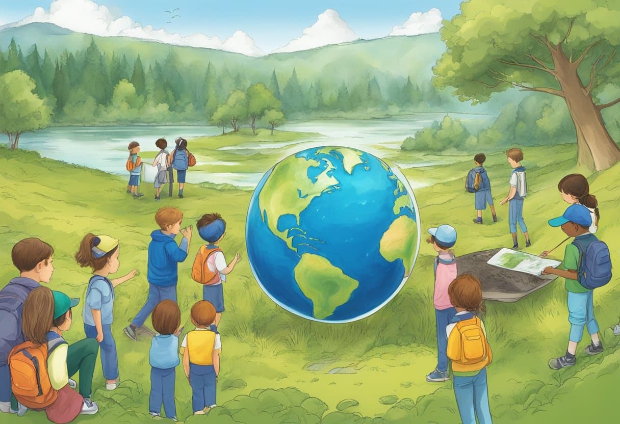
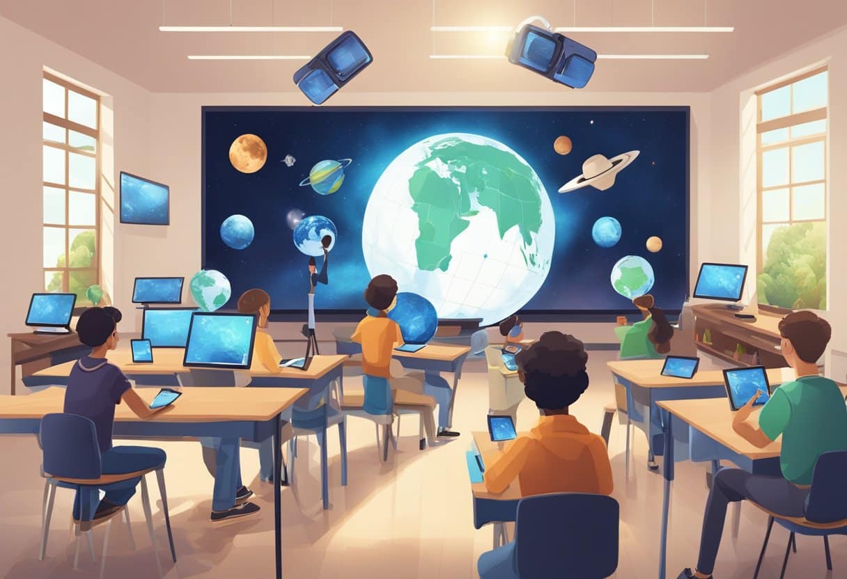
Teaching Earth and space science in upper primary classes can be both exciting and challenging. Using advanced techniques helps students understand complex concepts in fun, hands-on ways. Incorporating satellite imagery, interactive models, and concept mapping can transform how children engage with Earth and space topics. This makes abstract ideas concrete and memorable for young learners.
These advanced techniques aren’t just about fancy technology – they’re about building deeper understanding. When children explore Earth from space through satellite images, they develop critical thinking skills while learning about geography, climate, and human impact on our planet. Similarly, using digital planetariums and 3D models helps them grasp difficult space concepts like planetary motion and the scale of our solar system.
Teachers don’t need extensive scientific backgrounds to implement these methods. “The most successful Earth and space lessons combine simple observations with guided exploration,” says Michelle Connolly, an educational consultant with over 16 years of classroom experience. “When we give children the tools to discover scientific principles themselves, they retain that knowledge far longer than through traditional teaching methods.”
Exploring the Fundamentals of Earth Science
Earth science helps us understand our planet’s unique systems, from the deepest core to the water covering its surface. Learning about Earth’s layers, rock formations, and water cycles gives you valuable insights into how our planet works and changes over time.
Layers of the Earth
The Earth consists of four main layers, each with unique properties. The innermost layer is the inner core, a solid ball made mostly of iron and nickel with temperatures similar to the Sun’s surface. Surrounding this is the outer core, a liquid layer that creates Earth’s magnetic field as it moves.
The mantle is the thickest layer, making up about 84% of Earth’s volume. It’s mostly solid but can flow very slowly over time, like thick treacle. The mantle contains minerals like silicates and iron-magnesium compounds that help drive plate tectonics.
“As an educator with over 16 years of classroom experience, I’ve found that children grasp Earth’s structure best when we compare it to familiar objects like a boiled egg or an avocado,” notes Michelle Connolly, educational consultant and founder of LearningMole.
The crust is the thin outer layer where we live. It’s much thinner under the oceans (about 5-10 km) than under continents (about 30-50 km).
Rocks and Geology
Rocks tell the story of Earth’s history and are classified into three main types based on how they form:
Igneous rocks form when magma or lava cools and solidifies. Examples include:
Basalt (forms from fast-cooling lava)
Granite (forms from slow-cooling magma)
Obsidian (volcanic glass)
Sedimentary rocks form when bits of other rocks, plants, and animals get pressed together over time. These rocks often contain fossils and form in layers that scientists can read like pages in a book.
Metamorphic rocks start as other rock types but change under extreme heat and pressure. Marble (from limestone) and slate (from shale) are common examples you might recognise.
Geologists study these rocks to understand the natural world and Earth’s history. The rock cycle connects all three types in a continuous process of creation and change.
The Water Cycle and Oceans
Water constantly moves around our planet in the water cycle. This amazing system has no beginning or end and includes several key processes:
Evaporation: The sun heats water in oceans, lakes and rivers, turning it into water vapour.
Condensation: Water vapour cools and forms clouds.
Precipitation: Water falls back to Earth as rain, snow, sleet or hail.
Collection: Water gathers in oceans, lakes, rivers and underground.
Oceans cover about 71% of Earth’s surface and contain 97% of all water. They play a crucial role in regulating temperature and weather through ocean currents – massive rivers of water flowing through the seas.
The two main types of ocean currents are surface currents driven by wind and deep ocean currents driven by differences in water density. The Gulf Stream is a famous surface current that carries warm water from the Gulf of Mexico to Europe, keeping countries like the UK warmer than they would otherwise be.
Oceans also support incredible biodiversity, from microscopic plankton to massive whales, making them vital to Earth’s ecosystems.
Understanding Space and the Solar System
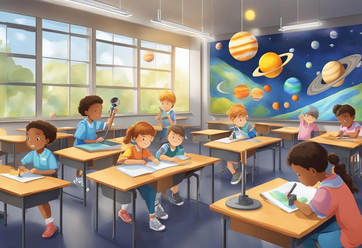
Space exploration captivates young minds and provides excellent opportunities for hands-on learning in upper primary classrooms. You can use several advanced techniques to help your students understand the vastness of space, the relationships between celestial bodies, and the wonders of our solar system.
Planets and Their Orbits
Our solar system contains eight planets orbiting the Sun, each with unique characteristics. To help students understand planetary orbits, you can create a scale model in your playground or hall.
“As an educator with over 16 years of classroom experience, I’ve found that physical modelling helps children grasp the concept of orbits better than any textbook illustration,” says Michelle Connolly, educational consultant and founder of LearningMole.
When teaching about planets, consider these key facts:
Planet
Distance from Sun
Orbit Time
Size Comparison
Mercury
58 million km
88 days
Like a large apple
Venus
108 million km
225 days
Similar to Earth
Earth
150 million km
365 days
Our home
Mars
228 million km
687 days
Half Earth’s size
Jupiter
778 million km
12 years
11 times Earth’s diameter
Saturn
1.4 billion km
29 years
Known for rings
Uranus
2.9 billion km
84 years
Ice giant
Neptune
4.5 billion km
165 years
Windiest planet
Use torch and ball demonstrations to show how day and night occur and how seasons change as Earth orbits the Sun. This strengthens understanding and prepares students for advanced astronomy concepts.
Moons, Asteroids, and Comets
Beyond planets, our solar system contains fascinating objects that enhance student understanding of space science. The Moon provides an excellent starting point for observation activities.
Have your students track the Moon’s phases over a month using a simple chart. This hands-on astronomy exercise helps them understand orbital relationships and the reflection of sunlight.
Asteroids can be explored through classroom simulations. Create a “meteor impact” experiment using flour and small pebbles to demonstrate crater formation. This teaches about:
Impact forces
Crater size variations
The asteroid belt between Mars and Jupiter
Comets provide exciting opportunities for art and science integration. Students can create comet models using dry ice (with proper safety measures) to demonstrate how comets form tails as they approach the Sun.
Use virtual solar system models to help students visualise these smaller objects in relation to planets. This technology helps overcome the challenges of understanding vast spatial dimensions.
Observing the Night Sky
Practical astronomy activities enhance understanding and create memorable learning experiences. Start by teaching students to identify major constellations visible in your region.
“Having worked with thousands of students across different learning environments, I’ve noticed that children who regularly observe the night sky develop stronger spatial reasoning skills,” explains Michelle Connolly.
Create simple star maps appropriate for your location and season. Students can use these to:
Identify major stars
Recognise constellation patterns
Track planets visible to the naked eye
Use smartphone apps like Star Walk or Sky Map in the classroom before outdoor observations. These tools help students prepare for what they’ll see in the real night sky.
For advanced classes, introduce simple telescopes or binoculars. Teach proper techniques for viewing celestial objects, focusing on:
The Moon’s craters
Jupiter’s moons
Saturn’s rings
Consider organising a stargazing evening with parents to extend learning beyond school hours. This creates community engagement while reinforcing astronomy concepts.
The Interplay of Energy and Climate
Energy sources and climate systems are deeply connected in our world. Changes in one often affect the other, creating a complex relationship that shapes our planet’s future.
Sources of Energy
Our planet relies on various energy sources to power daily life. The sun is our primary energy provider, delivering heat and light that drives Earth’s systems. This solar energy warms our planet unevenly, creating temperature differences that power weather patterns.
“As an educator with over 16 years of classroom experience, I’ve found that children grasp complex energy concepts best when they can see the connections to their everyday lives,” explains Michelle Connolly, founder of LearningMole and educational consultant.
Fossil fuels like coal, oil, and natural gas provide much of our modern energy, but they release carbon dioxide when burned. Renewable energy sources offer cleaner alternatives:
Solar power – captures the sun’s energy directly
Wind power – harnesses moving air currents
Hydropower – uses flowing water’s energy
Geothermal energy – taps Earth’s internal heat
These renewable options help reduce the climate impact of our energy use, making them vital for future generations.
Climate and Weather Systems
Weather refers to short-term atmospheric conditions, while climate describes long-term patterns. The sun’s energy drives our global climate system by creating air and ocean currents that distribute heat around the planet.
When we burn fossil fuels, we release greenhouse gases that trap extra heat in our atmosphere. This human interaction with Earth’s systems is changing our climate.
Climate change affects weather patterns in several important ways:
More extreme weather events (stronger storms, longer droughts)
Shifting rainfall patterns
Rising sea levels from melting ice
Changes in plant growing seasons
You can help your pupils understand these connections through simple experiments like creating model atmospheres in jars or tracking local weather patterns over time.
Monitoring Earth’s Health with Satellites
Satellites have revolutionised how we observe and understand our planet’s health. These advanced tools collect vital scientific data about Earth’s changing systems, allowing scientists to track environmental conditions in ways impossible from the ground.
Satellite Imaging and Mapping
Satellites capture detailed images of Earth that help you monitor crucial environmental changes. These powerful tools can track weather patterns, vegetation health, and atmospheric pollutants from their orbits high above our planet.
You can use satellite images to show your students how forests are changing over time or how cities are growing. This makes abstract concepts about environmental protection much more concrete and engaging.
“As an educator with over 16 years of classroom experience, I’ve found that satellite imagery brings an immediate ‘wow factor’ to the classroom that hooks children’s interest in Earth science,” says Michelle Connolly, founder of LearningMole and educational consultant.
Some satellites specialise in:
Weather monitoring (cloud patterns, storms)
Land use changes (deforestation, urban growth)
Ocean observations (temperature, currents)
These images help scientists create detailed maps that track changes to our planet’s ecosystems, making them essential tools for environmental protection.
Understanding Satellite Data
Satellite data comes in many forms beyond just photographs. Satellites collect information about temperatures, atmospheric gases, ocean currents, and more using special sensors.
When working with upper primary students, you can introduce simple satellite data through colour-coded maps. These visual representations make complex information accessible, showing things like temperature changes or vegetation health.
Try this activity with your class: download recent satellite images of your local area and compare them with older ones. Students can identify changes in buildings, green spaces, or water bodies.
Scientists use computers to analyse massive amounts of satellite data, looking for patterns and trends. This helps them understand climate change, predict weather events, and monitor natural disasters more effectively.
For classroom use, many space agencies like NASA and ESA provide educational resources with simplified satellite data for environmental monitoring specially designed for young learners.
Analysing the Impact of Human Activities
Human activities significantly alter our planet’s natural systems. These changes affect land, water, and air in ways that can be measured using Earth science techniques. Students can learn to observe and analyse these impacts through hands-on activities.
Agricultural Practices
Agriculture transforms landscapes more than almost any other human activity. When you study satellite imagery with your class, you can identify different farming patterns from space – rectangular fields, circular irrigation systems, and terraced hillsides.
“As an educator with over 16 years of classroom experience, I’ve found that children grasp complex environmental concepts best when they collect and analyse their own data,” explains Michelle Connolly, educational consultant and founder of LearningMole.
You can help your pupils conduct simple soil testing experiments to understand how farming affects soil health:
pH level changes from fertilisers
Soil compaction from machinery
Water retention differences in tilled vs untilled soil
Students can create before-and-after maps showing how forest areas have changed due to agricultural expansion. This helps them understand land use changes over time.
Urban Development and Pollution
Cities create distinctive signatures on Earth’s surface that can be observed using advanced technologies. Your pupils can analyse urban heat islands by comparing temperature readings from city centres versus rural areas.
Air pollution monitoring provides excellent data for classroom analysis. Students can track:
Pollution Type
Source
Measurable Effect
Particulate matter
Vehicles, factories
Reduced visibility
Carbon dioxide
Combustion, respiration
Temperature increase
Nitrogen oxides
Vehicle emissions
Acid rain formation
Satellite imagery shows dramatic urban expansion over decades. You can guide pupils to measure city growth using simple digital tools and historical images.
Water quality testing near urban areas gives pupils first-hand experience with human impact analysis. Collection of rainwater samples from different locations helps them understand how pollutants travel through watersheds.
Remote sensing technology allows your class to observe light pollution at night, creating an engaging way to discuss energy usage and its environmental consequences.
The Science of Oceans and Sea Surface Temperature
Understanding ocean temperatures helps us learn about our planet’s climate system. Sea surface temperature affects weather patterns, marine life, and even how heat moves around the Earth.
Ocean Circulation Patterns
Ocean circulation works like a giant conveyor belt moving water around our planet. Warm water near the equator flows towards the poles, while cold water from the poles travels back towards the equator. This natural cycle helps distribute heat across the globe.
The Gulf Stream is an excellent example of an ocean current that moves warm water from the Gulf of Mexico to Western Europe. Without it, the UK would be much colder!
“As an educator with over 16 years of classroom experience, I’ve found that children grasp ocean circulation concepts best when they visualise water movement as a continuous journey rather than isolated currents,” explains Michelle Connolly, educational consultant and founder of LearningMole.
You can demonstrate ocean circulation with a simple classroom experiment:
Fill a clear container with water
Add food colouring at one end
Place an ice cube at the opposite end
Watch how the coloured water moves as temperatures change
Measuring Sea Temperature
Scientists use several methods to measure sea surface temperature. Satellites provide a global view by detecting infrared radiation from the ocean surface. These complex interactions between the ocean and atmosphere help scientists understand our climate better.
Ships and buoys collect direct measurements when they’re at sea. Weather ships have been collecting ocean data since the early 20th century! Modern methods include:
Satellite imagery
Floating buoys (like the ARGO network)
Ship-based instruments
Underwater gliders
Temperature data helps predict weather patterns and monitor climate change. Some systems can even predict anomalous sea temperatures months in advance, which is crucial for forecasting events like El Niño.
The global ocean data assimilation experiment helps collect and organise temperature information from around the world. You can access this data online to help your class understand real scientific research.
Weather Phenomena and Predicting Patterns
Weather patterns affect our daily lives and understanding them helps us prepare for different conditions. Learning about these patterns gives young students valuable knowledge about our planet’s natural systems.
Understanding Hurricanes
Hurricanes are powerful tropical storms that form over warm ocean waters. These massive weather systems can cause significant damage when they reach land. You can identify hurricanes by their spiral shape and the calm “eye” at the centre.
Hurricane Katrina, which struck in August 2005, is one of the most devastating examples. It caused catastrophic flooding in New Orleans and changed how we prepare for these storms.
“As an educator with over 16 years of classroom experience, I’ve found that children are fascinated by extreme weather events like hurricanes. Using real examples helps them understand the science behind these powerful forces of nature,” explains Michelle Connolly, educational consultant and founder of LearningMole.
To track hurricanes, meteorologists use:
Satellite imagery
Weather balloons
Ocean buoys
Computer models
You can create simple models with your pupils using water in a circular container to demonstrate how rotation works in these massive storms.
Precipitation and Thermal Energy
Precipitation occurs when water vapour in the atmosphere condenses and falls to Earth as rain, snow, sleet or hail. This process is directly linked to thermal energy in our atmosphere.
When the sun heats the Earth’s surface, water evaporates and rises. As this warm, moist air reaches cooler heights, it condenses to form clouds. The amount of thermal energy in the system determines what type of precipitation forms.
Different regions experience unique precipitation patterns based on:
Climate Zone
Typical Precipitation Pattern
Tropical
Heavy rainfall year-round
Desert
Minimal rainfall, often seasonal
Temperate
Moderate rainfall throughout seasons
Polar
Light precipitation, mostly snow
You can demonstrate these concepts with simple classroom experiments. Try creating a water cycle in a clear container with warm water and ice on top to show how thermal energy drives precipitation.
Weather stations in schools help pupils collect real data about local precipitation patterns. This hands-on approach makes abstract concepts concrete and engaging for upper primary learners.
Incorporating Technology in Earth and Space Education
Technology has transformed how we teach Earth and space science in primary school classrooms. Digital tools now help students visualise complex concepts and conduct investigations that connect them to real-world phenomena.
Effective Use of the Internet
The internet offers primary students unprecedented access to Earth and space resources. You can use websites that provide real-time data from satellites, weather stations, and space missions to make lessons more relevant and exciting.
Google Earth is particularly valuable as it allows your students to examine diverse land use patterns and visualise geographical concepts. Have your class explore volcano formations, river systems, or deforestation through interactive satellite imagery.
“As an educator with over 16 years of classroom experience, I’ve found that giving students the controls to virtually fly around our planet creates those ‘wow’ moments that spark genuine curiosity about Earth systems,” says Michelle Connolly, educational consultant and founder of LearningMole.
Consider creating a Digital Exploration Station in your classroom:
Dedicated tablets with bookmarked Earth observation sites
Virtual field trips using 360° videos
Online citizen science projects where students contribute real data
Innovative Teaching Tools
Modern teaching tools extend far beyond traditional textbooks to engage primary students in Earth and space education. Technologies like augmented reality (AR) apps can overlay information on physical objects, helping children understand abstract concepts like planetary orbits or rock formations.
The SATELLITES programme demonstrates how geospatial technologies help students interpret Earth from space, developing crucial spatial skills for understanding our world. You can implement similar approaches in your classroom with simplified tools designed for younger learners.
“Having worked with thousands of students across different learning environments, I’ve seen how digital planetarium software transforms an ordinary classroom ceiling into a night sky exploration tool,” explains Michelle Connolly.
Top Digital Tools for Primary Earth Science:
Weather station kits that connect to tablets
Simple coding platforms to animate Earth processes
Digital microscopes for examining soil and rock samples
Interactive solar system models with AR overlays
Remember to balance screen time with hands-on activities to reinforce digital learning with tangible experiences.
Creating a Lesson Plan for Advanced Earth & Space Sciences
Designing effective lesson plans for upper primary Earth and Space Sciences requires careful planning and creative teaching approaches. Your plans should balance rigorous scientific content with engaging activities that capture students’ imaginations and build deep understanding of complex concepts.
Activity-Based Learning
Activity-based learning is essential for teaching advanced Earth and Space concepts effectively. Begin by selecting concept-building strategies that translate abstract ideas into hands-on experiences.
“As an educator with over 16 years of classroom experience, I’ve found that children retain complex Earth and Space concepts best when they physically interact with models representing these systems,” says Michelle Connolly, educational consultant and founder.
Consider these practical activities:
Planet rotation models: Use torches and balls to demonstrate day/night cycles
Rock classification stations: Set up sorting areas with different rock samples
Cloud formation experiments: Use bottles and pressure to create mini clouds
When preparing your teaching materials, focus on visual aids that support spatial understanding. Concept mapping techniques work brilliantly for connecting related Earth and Space concepts.
Assessing Student Understanding
Assessment should measure both knowledge acquisition and conceptual understanding. Create a balanced mix of formative and summative assessments throughout your lessons.
Pre-assessment is crucial for advanced topics. Use concept maps to identify students’ existing knowledge before beginning new units. This helps you target misconceptions early.
During lessons, implement these assessment strategies:
Assessment Type
Examples
Purpose
Quick Checks
Mini-whiteboards, thumbs up/down
Immediate feedback
Project Work
Model creation, digital presentations
Deep understanding
Written Tasks
Explanations, concept maps
Scientific communication
Encourage students to build expressed models that demonstrate their understanding of Earth and Space systems. These models can serve as excellent assessment tools while developing students’ advanced skills in various science topics.
Mathematical Models and Scientific Inquiry
Mathematical models and scientific inquiry work together to help young learners understand complex Earth and space concepts. These approaches turn abstract ideas into hands-on learning experiences that build both maths skills and scientific thinking.
Applying Mathematical Concepts
When teaching upper primary pupils about Earth and space, mathematical models serve as powerful tools to visualise complex ideas. You can use scale models to demonstrate the relative sizes of planets or the distance between celestial bodies. A simple activity might involve creating a scale model of the solar system in your playground.
“As an educator with over 16 years of classroom experience, I’ve found that children grasp cosmic distances far better when they convert them into scales they can physically experience,” notes Michelle Connolly, educational consultant and founder.
Data analysis activities help pupils make sense of real-world measurements. Try these approaches:
Collecting weather data and creating graphs
Measuring shadows at different times to model Earth’s rotation
Using proportion to calculate distances in space
These hands-on activities transform abstract maths into tangible experiences. When pupils calculate the ratio between Earth and Jupiter’s sizes, they develop proportion skills while deepening their space knowledge.
Developing Critical Thinking through Inquiry
Scientific inquiry encourages pupils to ask questions, gather evidence, and form conclusions—essential skills for understanding Earth and space sciences. You’ll notice pupils become more engaged when they collect their own data in the real world.
Start with simple questions like “Why do shadows change length?” or “How do seasons affect temperature?” These questions naturally lead to mathematical modelling as pupils gather and analyse data.
“Having worked with thousands of students across different learning environments, I’ve observed that when children use maths to solve real scientific mysteries, both subjects come alive for them,” says Michelle Connolly.
Scientific inquiry in Earth Science classrooms works brilliantly when connected to familiar experiences like seasonal changes, moon phases, or weather patterns. These explorations build critical thinking skills whilst reinforcing mathematical concepts.
Frequently Asked Questions
Teaching Earth and space science in upper primary classes presents exciting opportunities to engage young minds through hands-on activities and interactive learning. These approaches help students understand complex concepts in ways that are both accessible and captivating.
What are some engaging hands-on activities for teaching the solar system to upper primary students?
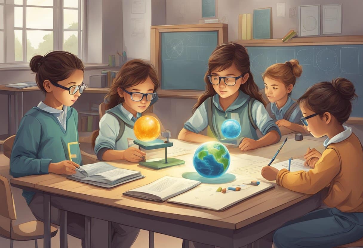
Creating a scale model of the solar system in your school playground is a brilliant way to help students understand the vast distances between planets. You can use different sized fruits or sports balls to represent planets and mark out orbital paths with chalk. Building u003ca href=u0022https://learningmole.com/space-facts-for-kids/u0022 target=u0022_blanku0022 rel=u0022noreferrer noopeneru0022u003eplanet fact cardsu003c/au003e with movable parts can make learning interactive. Students can create flipbooks showing planetary features, orbital periods, and interesting facts about each celestial body.u003cbru003eu0022As an educator with over 16 years of classroom experience, I’ve found that having children create their own u003ca href=u0022https://learningmole.com/planets-for-kids/u0022 target=u0022_blanku0022 rel=u0022noreferrer noopeneru0022u003e3D solar systemu003c/au003e models using papier-mâché inspires deeper understanding than any textbook could provide,u0022 notes Michelle Connolly, founder and educational consultant at LearningMole. Moon phase observation journals are also fantastic. Have pupils observe and record the moon’s appearance over a month, then discuss patterns they notice.
How can Earth and space science be made accessible and captivating for younger pupils?
Storytelling about constellations captures imagination while teaching astronomy basics. Share myths behind star patterns, then have pupils create their own constellation stories and drawings. Virtual reality tours of space using simple VR headsets can transport pupils to other planets. Many free apps offer immersive space experiences that work with affordable classroom technology.u003cbru003eSimple experiments demonstrating gravity, like dropping objects of different weights, help make abstract concepts concrete. Compare how objects fall on Earth versus how they might behave on the moon. Weather tracking stations can connect Earth science to daily experience. Pupils can build simple instruments to measure rainfall, wind direction, and temperature changes.
Could you suggest any comprehensive lesson plans for introducing upper primary students to advanced Earth and space topics?
A multi-week unit on u0022Earth’s Place in Spaceu0022 works brilliantly for upper primary. Begin with our solar system, then expand to galaxies, and finally explore the concept of universe expansion. u0022Drawing from my extensive background in educational technology, I recommend structuring lessons that build upon progressively more advanced notions toward scientific understanding, rather than treating space topics as isolated facts,u0022 says Michelle Connolly, educational expert at LearningMole.u003cbru003eDay and night cycles can be explored through u003ca href=u0022https://learningmole.com/outdoor-teaching-ideas-the-world-around-you/u0022 target=u0022_blanku0022 rel=u0022noreferrer noopeneru0022u003eshadow trackingu003c/au003e experiments. Have pupils place a stick in the playground and mark shadow positions throughout the day to understand Earth’s rotation. Seasonal changes lessons might include graphing temperature data, studying solstices and equinoxes, and discussing how the Earth’s tilt affects climate zones.
Which interactive activities are recommended to help primary classes understand the solar system more effectively?
Planet research projects where small groups become experts on one planet then teach classmates creates ownership of learning. Include creative presentations with models, posters, or digital slideshows. Space exploration simulations let pupils role-play as mission control and astronauts. Create scenarios requiring problem-solving whilst learning about actual space missions.u003cbru003eDigital planetarium software brings the night sky into your classroom. Programs like Stellarium (free) allow you to show the stars from any location at any time. Hands-on crater formation experiments using flour, cocoa powder and marbles help pupils understand how meteor impacts shape planetary surfaces. The depth and size of craters can be measured and recorded.
What strategies prove most successful in making Earth and space science relatable to grade 4 students?
Connecting space concepts to everyday life helps tremendously. Discuss how satellites enable mobile phones, television, and weather forecasting to show space science’s relevance. u0022Having worked with thousands of students across different learning environments, I’ve noticed that children’s ideas in astronomy develop most effectively when we build upon their existing knowledge rather than simply correcting misconceptions,u0022 explains Michelle Connolly, founder of LearningMole.
Are there any resources or textbooks tailored for upper primary classes that cover Earth and space science in an advanced yet understandable manner?
Digital resources like NASA’s Space Place website offer age-appropriate content for upper primary students. Their interactive games and printable activities support curriculum objectives. The u0022DK Space Encyclopediau0022 provides stunning visuals with clear explanations of complex concepts. It’s designed specifically for curious 8-12 year olds with varied reading abilities.u003cbru003eBBC Bitesize offers free online modules covering Earth and space science that align with UK curriculum requirements. Their short videos and interactive quizzes make perfect lesson supplements. Science museum websites often provide teacher resource packs with lesson plans, worksheets and demonstration ideas specifically designed for primary audiences.
Maths Circus, an innovative platform we've crafted, presents a captivating realm where children learn mathematics through the exciting theme of a circus. The joy of juggling numbers and solving circus...
Trees are like the Earth's superheroes! They're big and strong, and they help our planet in so many ways. Imagine if the Earth was a giant garden; trees would be...
A flood happens when water covers land that is normally dry. Most floods follow heavy rain, melting snow, a river bursting its banks or a storm pushing the sea inland....
Wolfgang Amadeus Mozart (1756 to 1791) was an Austrian Classical-period composer who wrote more than 600 works, including operas, symphonies, and piano concertos, in a life of only 35 years....




Leave a Reply